That "t" key just refuses to work!

Discussion about RailWorks route design.

That "t" key just refuses to work!

Postby chrisale » Sun Mar 14, 2010 9:10 pm

So I've been banging my head against the wall for a few days now and at this point I'm going to reach out and maybe find an answer.

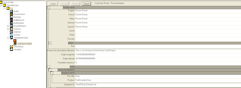
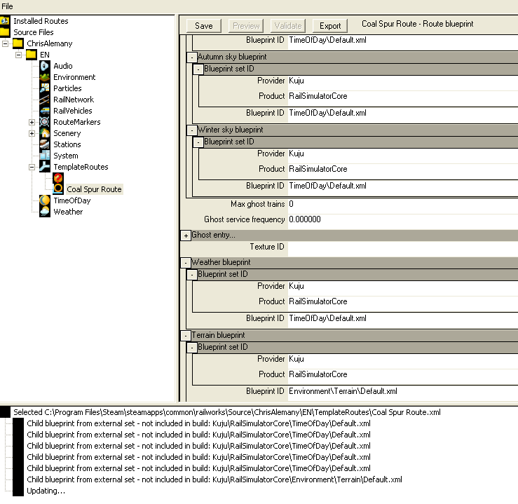
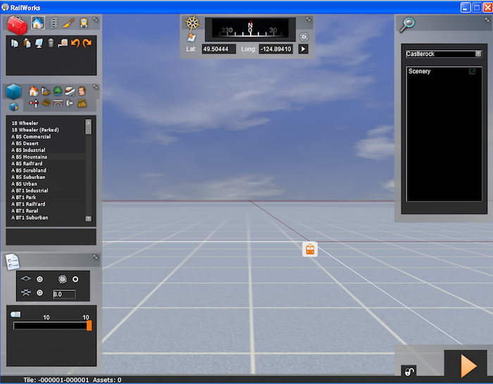
I've worked through a few outdated instructions for building up a route from scratch (including using a Default.xml where texturing.xml was used in older instructions). As you will see below, I have terrain, I have objects loaded.

I and my route are on Vancouver Island. Which is 49/48N and -123/-124W... I've placed the appropriate hgt files in the SRTM folder but that "t" just hasn't done it for me.

Some questions. Do the names of the hgt files matter? Case sensitive perhaps? (mine are N48W123.hgt ... etc)
Could it be that the HGT files don't have the information for my actual area!? Am I loading empty files? (is there somewhere I can check that?).

I'm creating a brand new route every time to ensure I reproduce the steps I need. But to no avail.

Here are three screenshots to show where I'm at.
Image
Image
Image

I've had another issue around using a csv file to create a route series marker and name marker and the blueprint editor freezes for hours and never finishes. (the series has about 66 points in it from google in ###.#####,###.##### format)... but that's probably for another thread, I haven't thoroughly investigated that one.

Thank you for any advice you could impart.
chrisale
 

Re: That "t" key just refuses to work!

Postby chrisale » Mon Mar 15, 2010 1:20 pm

In the meantime I did get this to work.

The problem was I did not have a wide enough range of the hgt files in my area, so no terrain in the area of my initial point was there to load. After downloading a much wider "swath" of hgt files, the T key worked flawlessly.

That said, I am in Canada, so the NASA files aren't the greatest. I've gotten the geobase.ca files for my area (again, I took most of my Island, though I only need about a 1/3 of it). These were DEM files, I used microdem to "Data Manipulate" them and Merge them into one DEM file and then save it as a single set of BIL files.

The BIL file then allowed me to use either the BIL converter (available online) to create new HGT files and use the T key to create terrain. Or, I can bring the BIL file into REDEM to create the actual tiles for my route that I then dump into my routes Terrain asset folder. The 2nd method seemed to provide the best detail so I'm waiting for a reg key from the reDEM folks so I can get full tiles out of ReDem.
chrisale
 

Re: That "t" key just refuses to work!

Postby FootplateManWSR » Thu Mar 18, 2010 1:35 pm

So, are you OK to continue now?
FootplateManWSR


Return to Route Design

Who is online

Users browsing this forum: No registered users and 0 guests

cron