Page 1 of 3

The NYC Water Level Route (1930's)

Unread postPosted: Sat Feb 15, 2020 3:48 pm
by jpetersjr
The year was 1935 along the New York Central Railroad, we start out in Utica, heading west towards Frankfort and Herkimer.

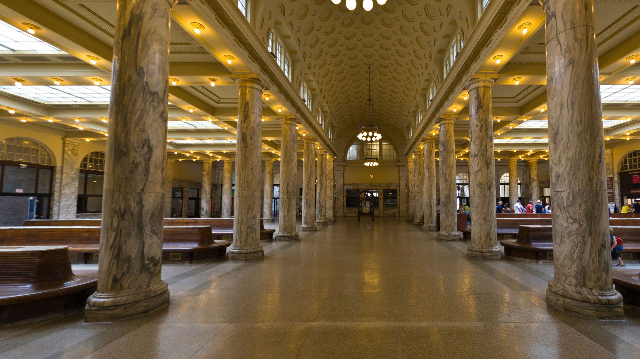
Here's a couple pictures around Utica, from the rural ends near the housing areas to downtown Utica and all of its warehouses.

Utica Housing District A.jpg

Utica Housing District B.jpg

Utica Housing District C.jpg

Utica Housing District D.jpg

Utica Housing District E.jpg


You can also find more photo's and progress at the official website.

https://digitalrailroadingco.powweb.com/dr/nyc-gallery/

...Cheers...


Big J

Re: The NYC Water Level Route 1930's

Unread postPosted: Sat Feb 15, 2020 3:55 pm
by jpetersjr
Some more pics of the housing district, still a work in progress.

Utica Housing District 2A.jpg

Utica Housing District 2B.jpg

Utica Housing District 2C.jpg

Utica Housing District 2D.jpg

Utica Housing District 2E.jpg


...Cheers...

Big J

Re: The NYC Water Level Route 1930's

Unread postPosted: Sat Feb 15, 2020 4:00 pm
by jpetersjr
Some more pics from the housing district, the final pictures for this section of town for now as I'll be doing some more work on it.

Utica Housing District 3A.jpg

Utica Housing District 3B.jpg

Utica Housing District 3C.jpg

Utica Housing District 3D.jpg

Utica Housing District 3E.jpg


...Cheers...


Big J

Re: The NYC Water Level Route (1930's)

Unread postPosted: Sat Feb 15, 2020 4:05 pm
by jpetersjr
Actually, I did have a couple more photo's to show of the rural section of Utica before I head into downtown.

The Hudson DSGDDR made looks awesome on the route.

Utica Housing District 3F.jpg

Utica Housing District 3G.jpg


...Cheers...


Big J

Re: The NYC Water Level Route (1930's)

Unread postPosted: Sat Feb 15, 2020 4:06 pm
by minerman146
Looking Great Sir!

Re: The NYC Water Level Route (1930's)

Unread postPosted: Sat Feb 15, 2020 4:13 pm
by jpetersjr
Approaching downtown Utica.

Approaching Downtown Utica A.jpg

Approaching Downtown Utica B.jpg

Approaching Downtown Utica C.jpg

Approaching Downtown Utica D.jpg

Approaching Downtown Utica E.jpg


...Cheers...


Big J

Re: The NYC Water Level Route (1930's)

Unread postPosted: Sat Feb 15, 2020 4:20 pm
by jpetersjr
Entering into downtown Utica with the Utica Brownstones, row apartments that most likely existed at the time.

Utica Brownstones A.jpg

Utica Brownstones B.jpg

Utica Brownstones C.jpg

Utica Brownstones D.jpg

Utica Brownstones E.jpg


...Cheers...


Big J

Re: The NYC Water Level Route (1930's)

Unread postPosted: Sat Feb 15, 2020 4:21 pm
by jpetersjr
Some more photo's that I couldn't fit into the last post.

Utica Brownstones F.jpg

Utica Brownstones G.jpg


...Cheers...


Big J

Re: The NYC Water Level Route (1930's)

Unread postPosted: Sat Feb 15, 2020 4:31 pm
by jpetersjr
Entering into downtown Utica.

Downtown Utica A.jpg

Downtown Utica B.jpg

Downtown Utica C.jpg

Downtown Utica D.jpg

Downtown Utica E.jpg


...Cheers...


Big J

Re: The NYC Water Level Route (1930's)

Unread postPosted: Sat Feb 15, 2020 4:38 pm
by jpetersjr
Some Utica Yard Buildings.

Utica Yard Buildings.jpg


The Utica Tower.

Utica Tower.jpg


The interior of the tower.

Utica Tower Interior.jpg


The Utica Freight Station.

Utica Freight Station A.jpg

Utica Freight Station B.jpg


More progress to come.


...Cheers...


Big J

Re: The NYC Water Level Route (1930's)

Unread postPosted: Sat Feb 15, 2020 4:48 pm
by harryadkins
Good work Big J!

Re: The NYC Water Level Route (1930's)

Unread postPosted: Sat Feb 15, 2020 4:52 pm
by jpetersjr
There's many more pictures as well at the website within the gallery.

Re: The NYC Water Level Route (1930's)

Unread postPosted: Sat Feb 15, 2020 5:52 pm
by EngineerJohn
What was once a giant railroad town is now a shadow of its former self with a street running beer train, CSX precision railroading, a tourist line, and an ALCo/MLW shortline. Nice work capturing it back in the day. A lot of the original property is still owned today but nearly half of all the tracks are ripped up and no longer used. Always neat to see something like this as to people like me who know the region it helps paint a better before/after picture.

Image

Utica Union Station still retains a lot of its character from the past, a lot of other stations along the water level route have been torn down and rebuilt or just renovated beyond recognition with the old.

Re: The NYC Water Level Route (1930's)

Unread postPosted: Sat Feb 15, 2020 6:57 pm
by cnwfan
Looking good! !!*ok*!!

Re: The NYC Water Level Route (1930's)

Unread postPosted: Sat Feb 15, 2020 9:02 pm
by jpetersjr
Some more progress in Utica.

Utica New Route Progress 1 A.jpg

Utica New Route Progress 1 B.jpg

Utica New Route Progress 1 C.jpg

Utica New Route Progress 1 D.jpg

Utica New Route Progress 1 E.jpg


...Cheers...

Big J