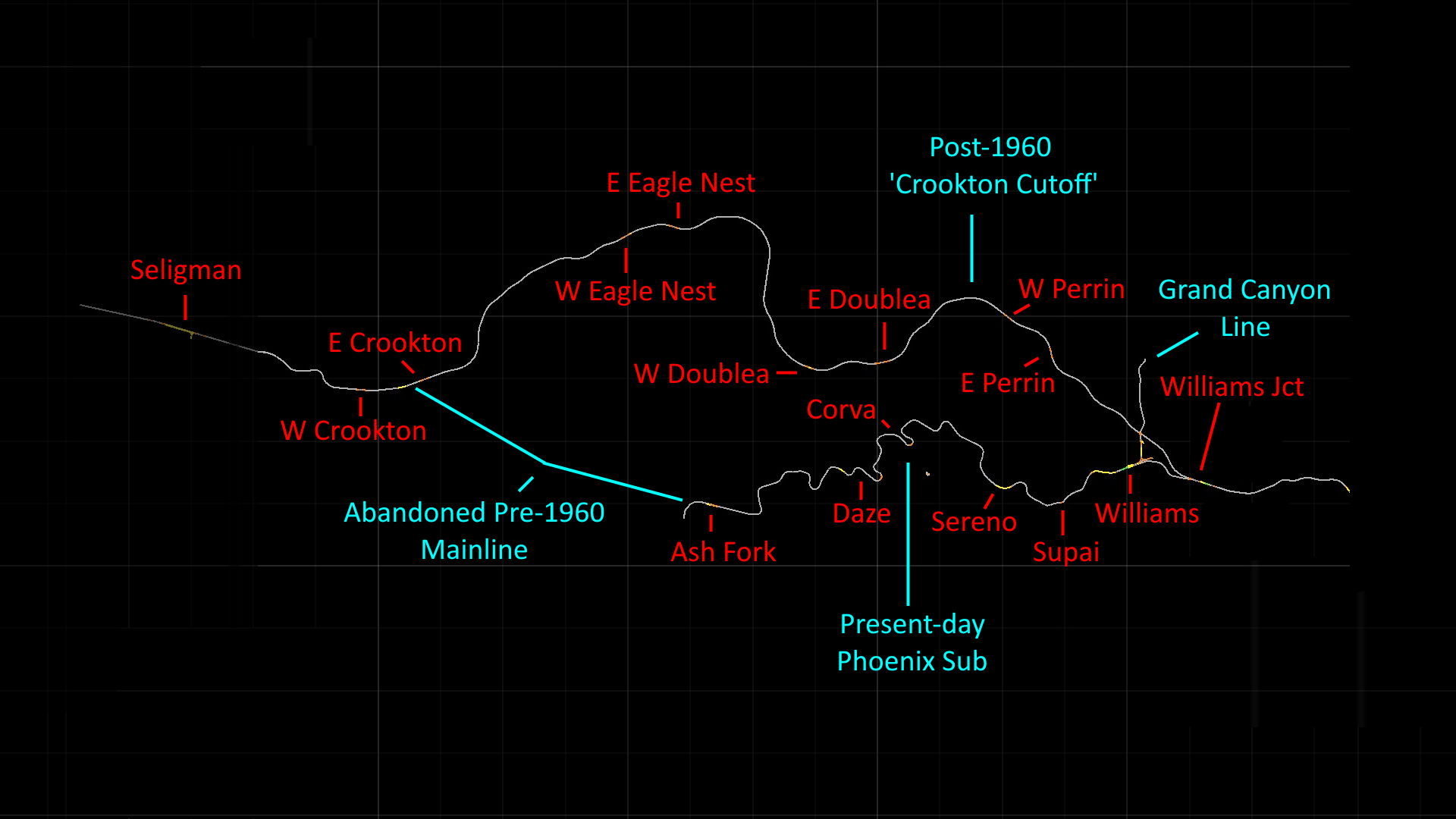
After an extended break at the beginning of April, I've spent the last couple weeks putting some finishing touches on two major map extensions - the Crookton Cutoff between Williams Jct. & Seligman, and Phoenix Subdivision (AKA the 'Peavine') between Williams & Ash Fork. We'll take an in-depth look at the scenery along both segments now that they're in a finished state.
For a little context on the history of these lines: what is the present-day BNSF Phoenix Sub between Williams Jct. & Ash Fork was originally the North track of the Santa Fe mainline, constructed in 1911 as a less rugged alternative to Atlantic & Pacific's 1882 alignment through Johnson Canyon. Upon completion, it became the eastward track for trains heading uphill and put westward trains downhill on the A&P line. Both railroads paralleled each other west of Ash Fork until reaching the grade at Pineveta; briefly separating through a canyon at Gleed before rejoining again at Crookton. In an effort to bypass harsh grades of up to 3% on either side of Ash Fork, Santa Fe constructed the Crookton Cutoff in 1960; a 44-mile, double track mainline designed for speeds of up to 90 miles an hour. Following its completion, both tracks from Crookton to Ash Fork were abandoned along with the original A&P south track from Ash Fork to Williams, resulting in the upper Peavine as we know it today. I'd recommend watching "Better Way for the Santa Fe (1959)" on YouTube as it's an excellent documentary about the new mainline's construction.
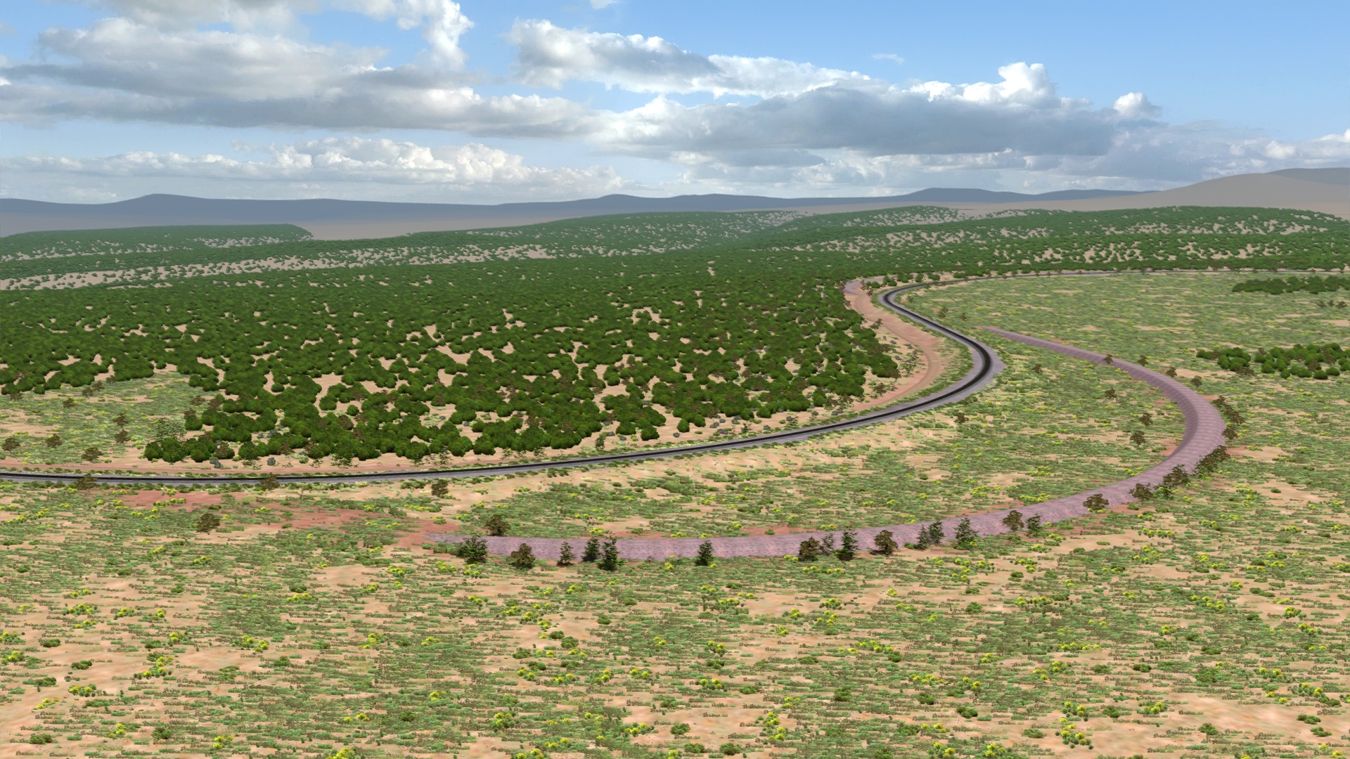
Here's a simple visual guide to help you understand the layout:
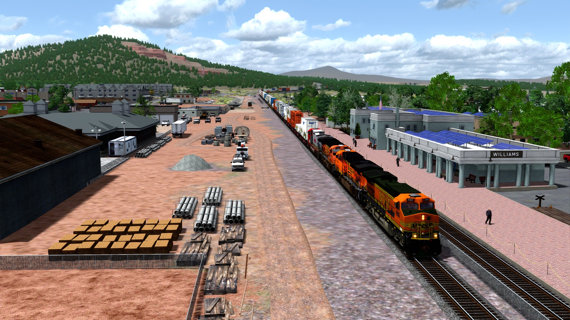
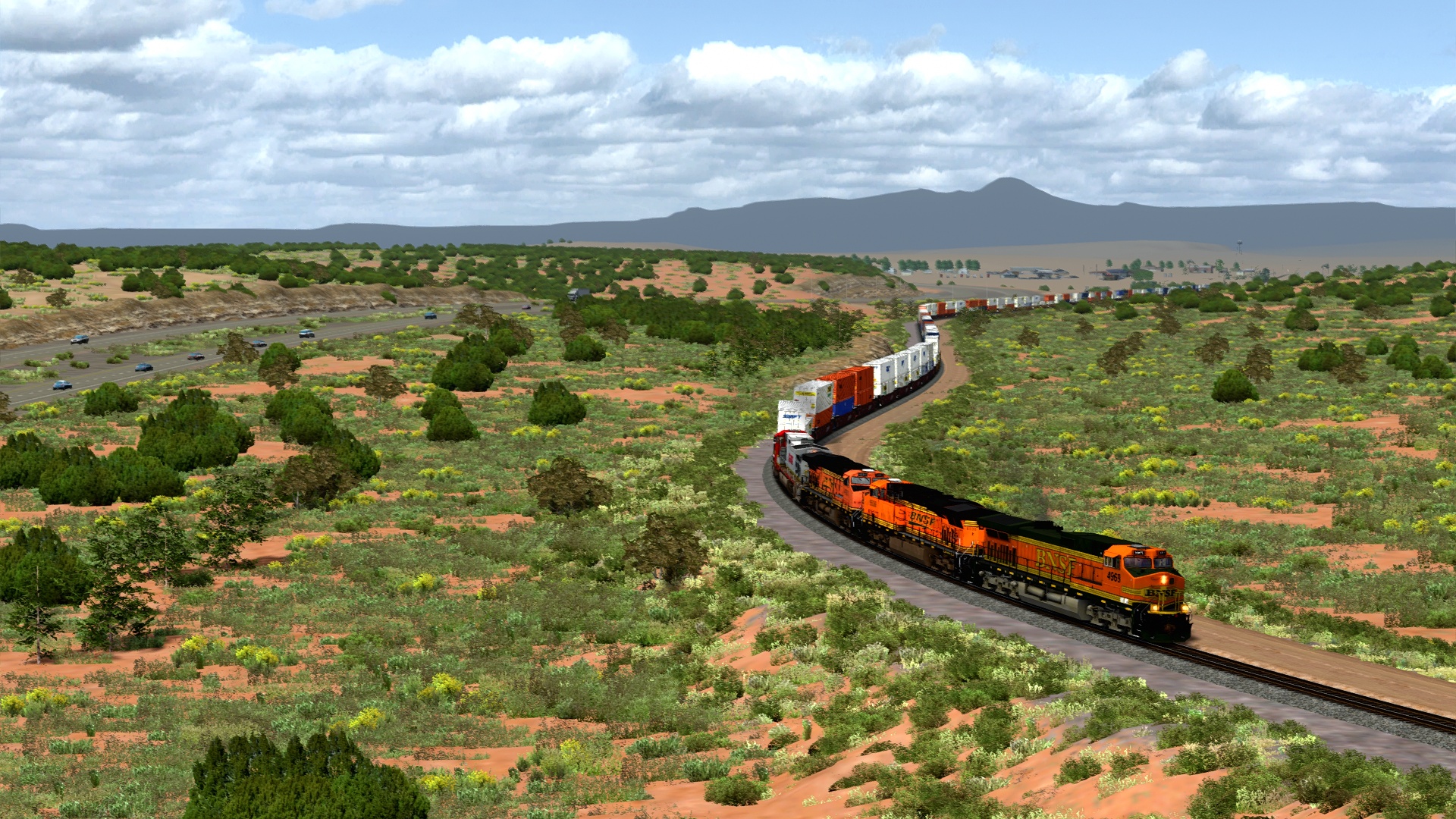
Starting our first tour down the Peavine. Seligman and Phoenix operate on different radio channels; not that it matters much in the sim.
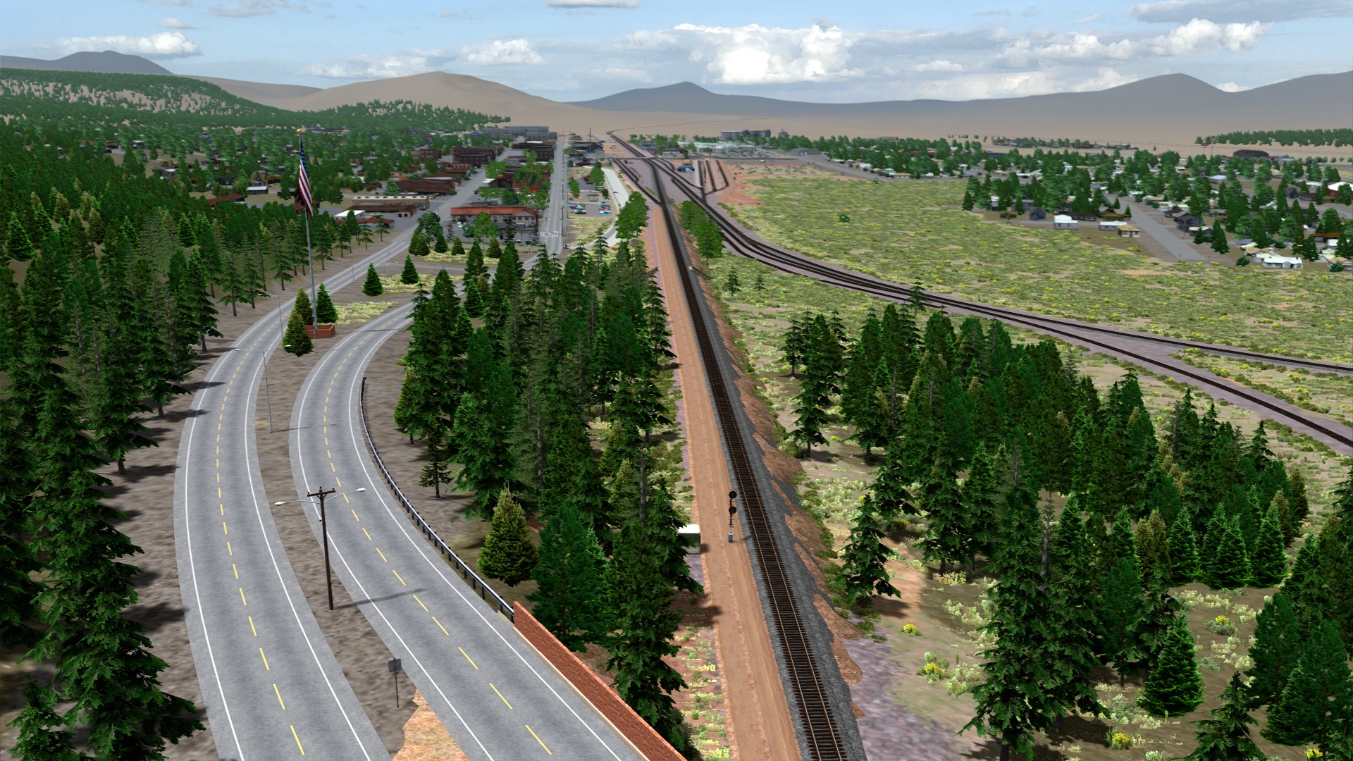
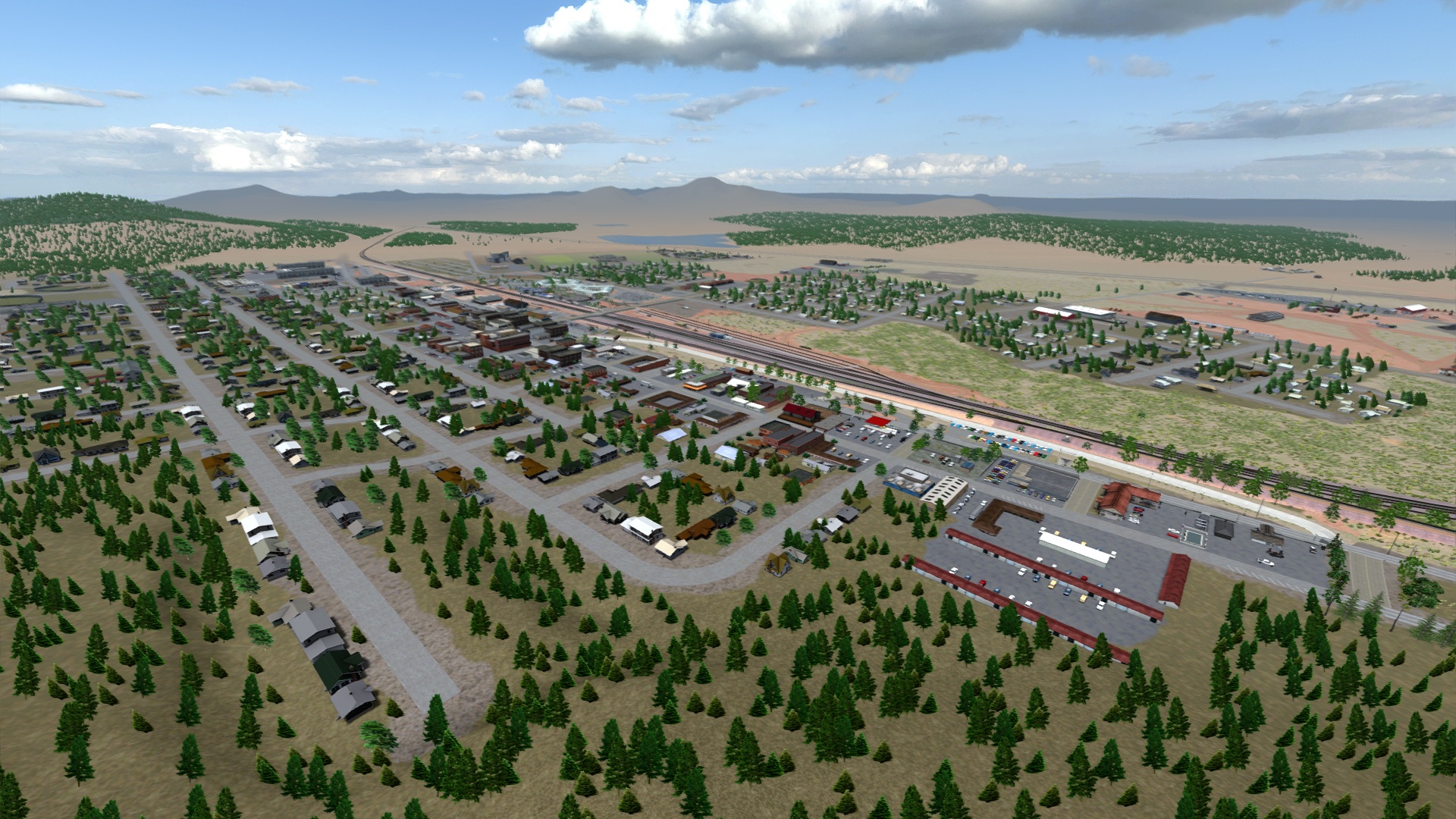
Overlooking the new and improved town of Williams.
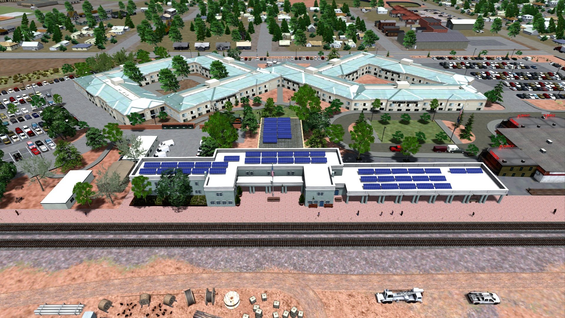
Fully reworked Grand Canyon Railway Hotel and Depot.
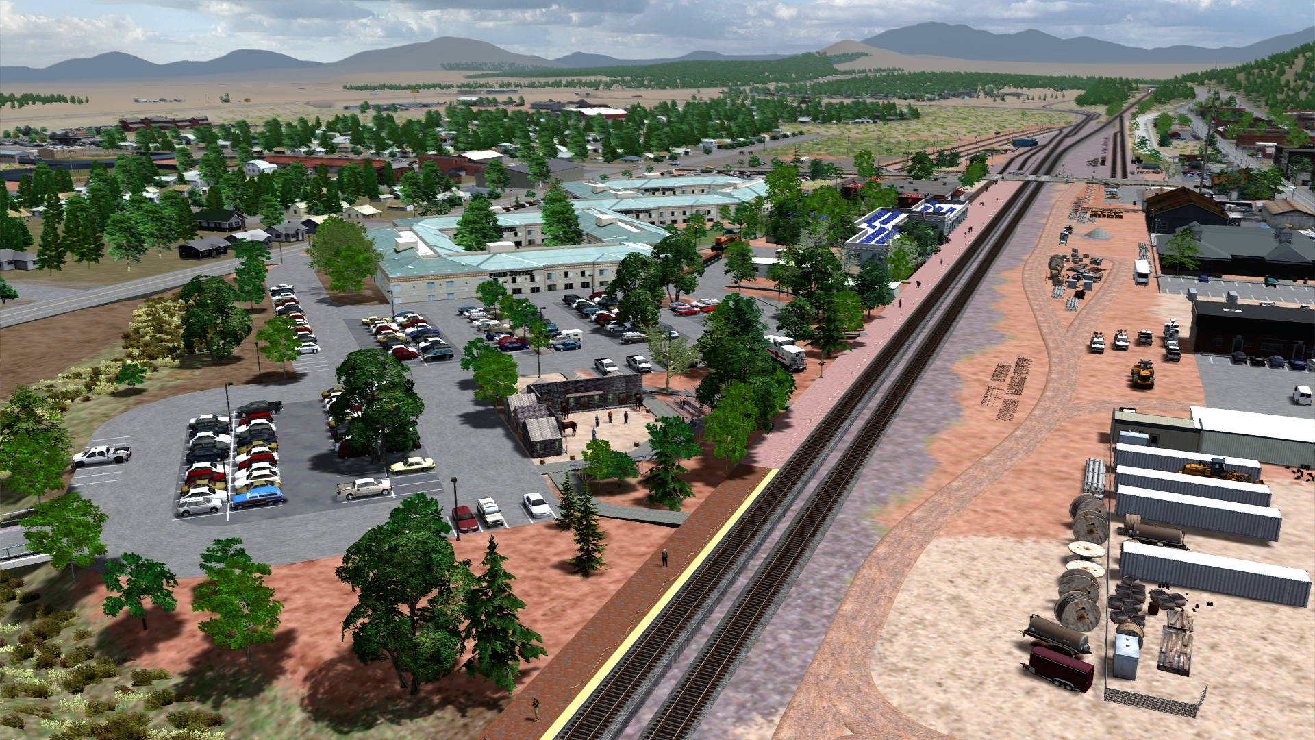
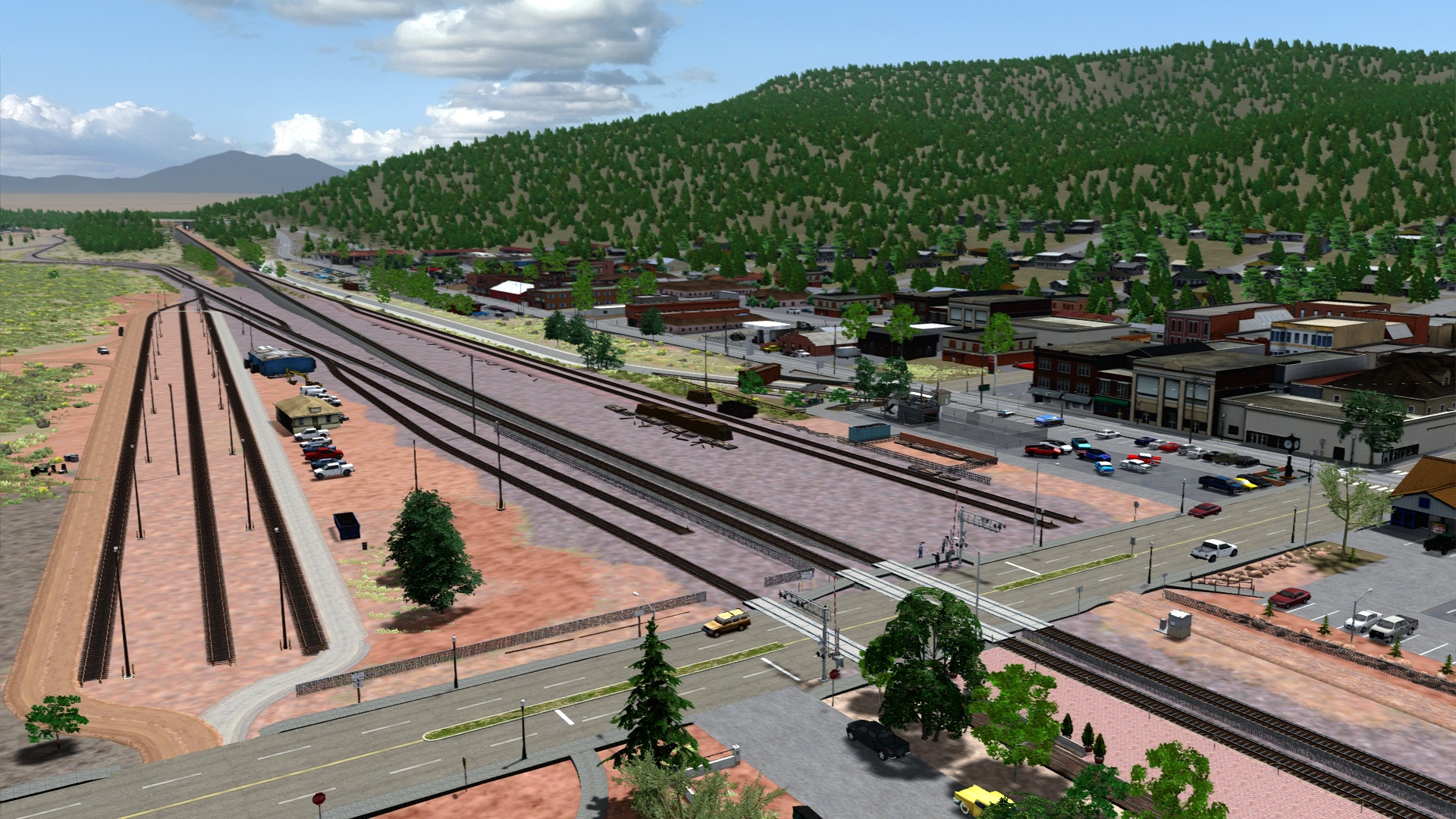
West Williams has recently been upgraded to a controlled siding.
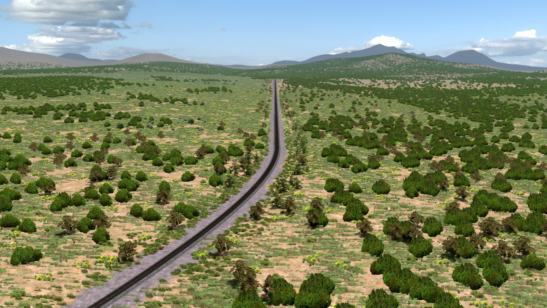
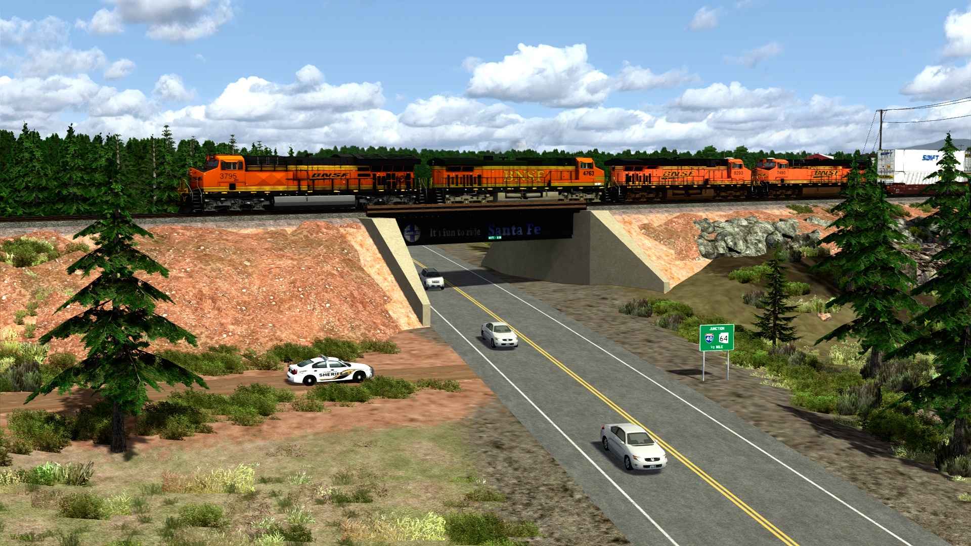
At the edge of Williams where the original map ended.
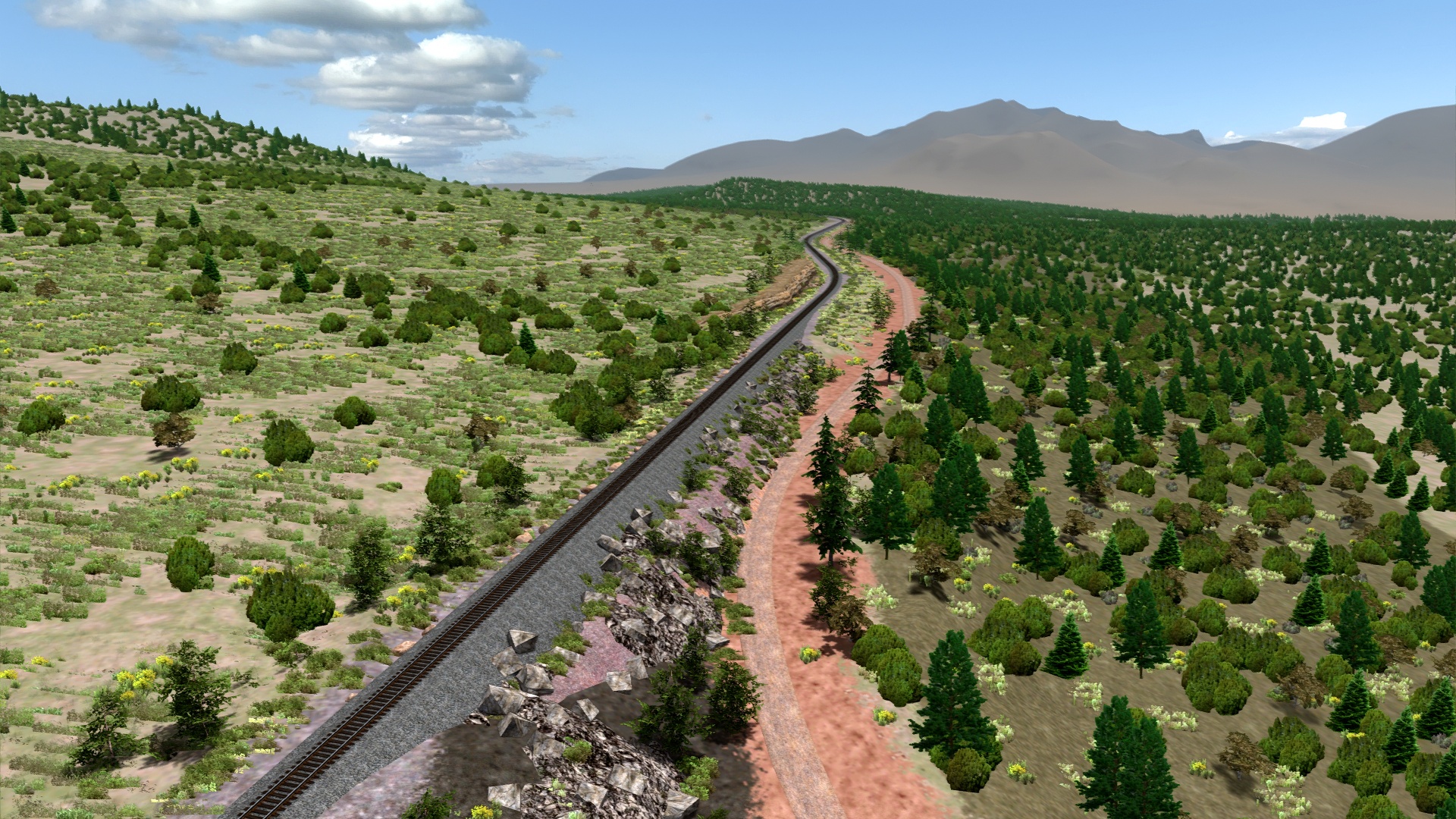
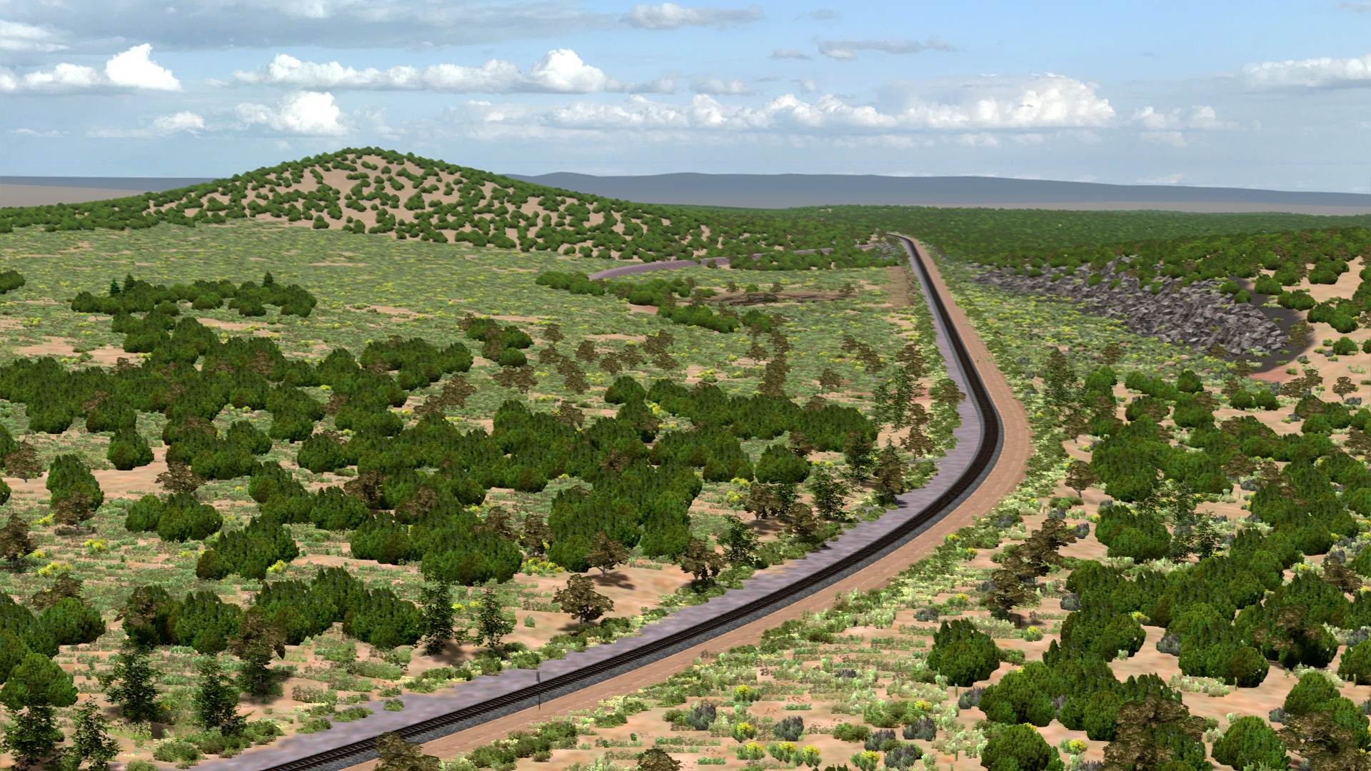
Supai Summit, highest point on the Phoenix sub.
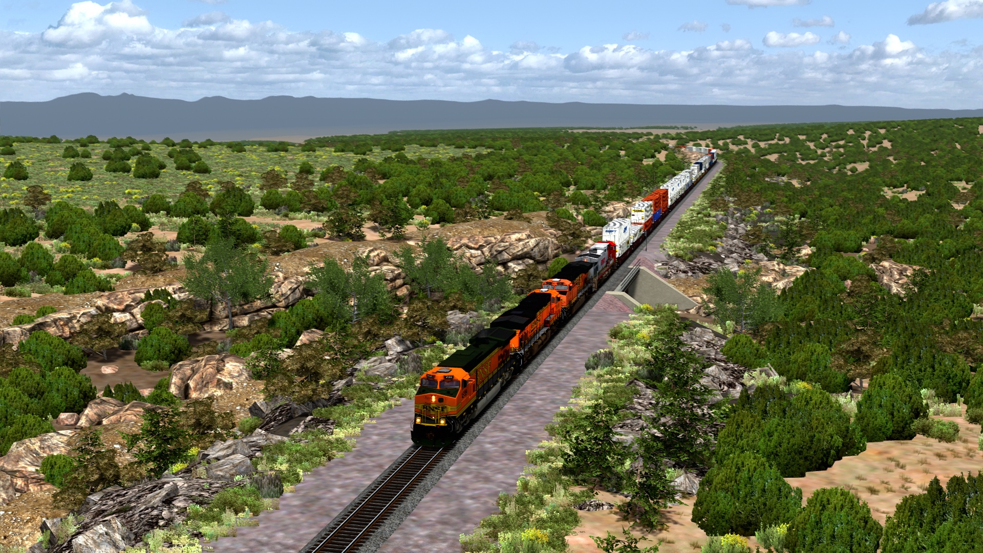
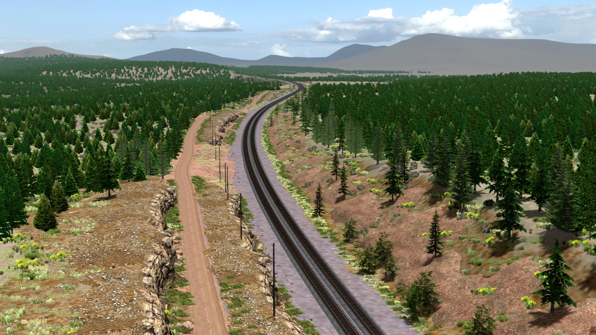
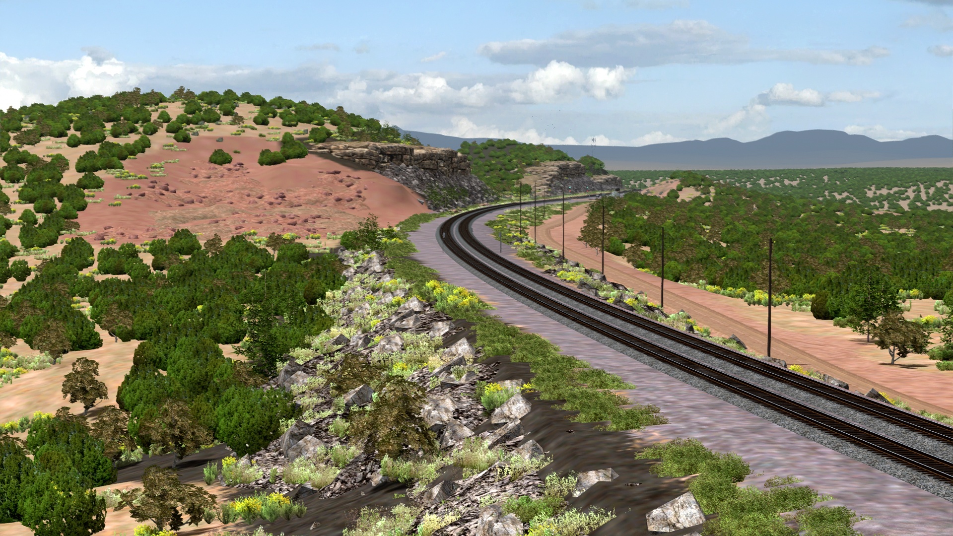
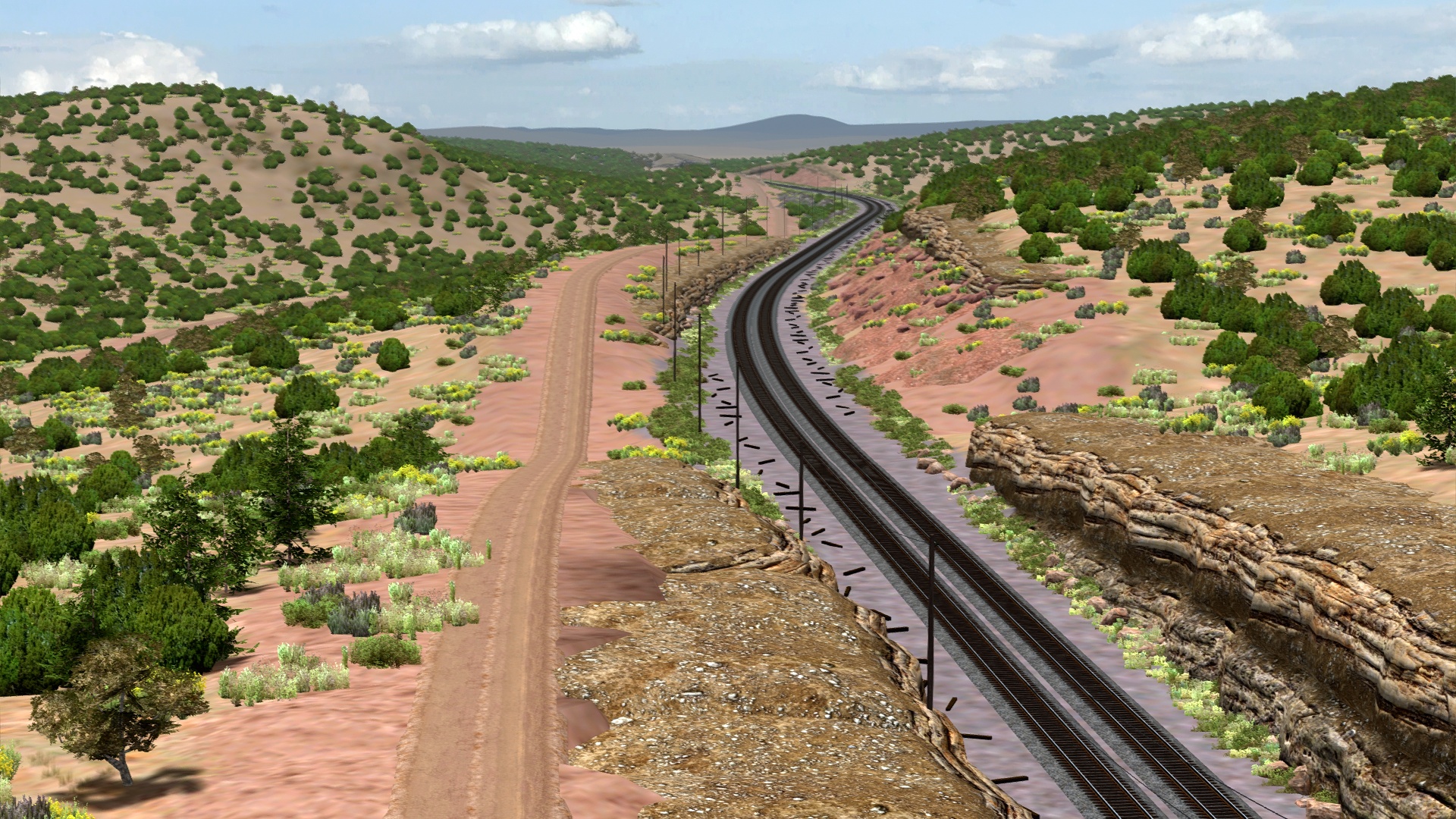
Around the corner from Supai, the track immediately begins to drop off the side of the mountain. A&P's original south track alignment can be seen to the right.
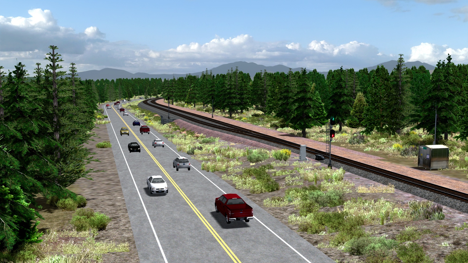
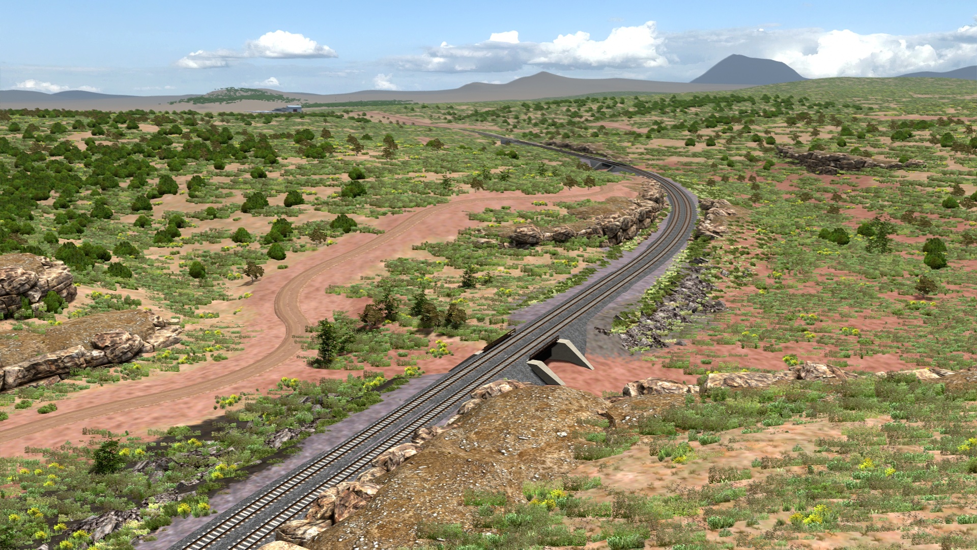
Sereno area.
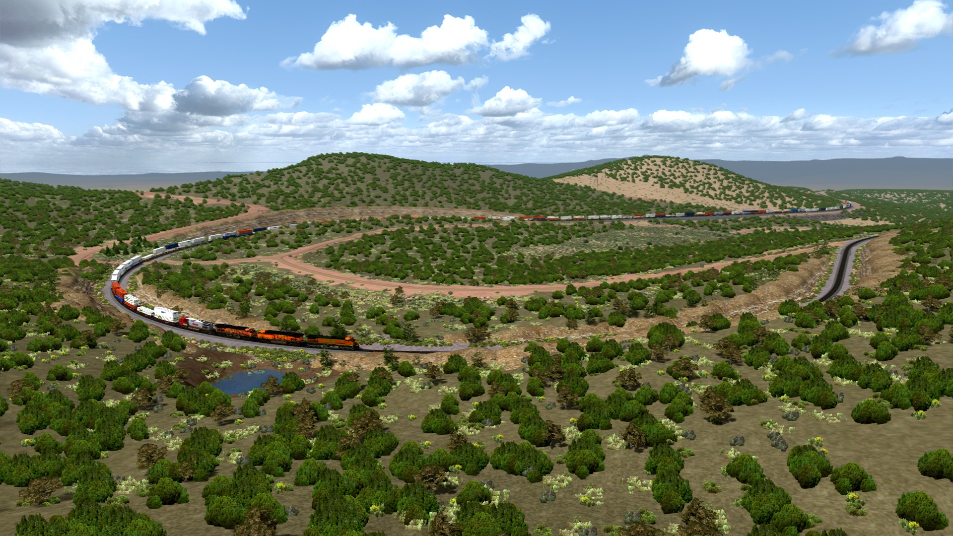
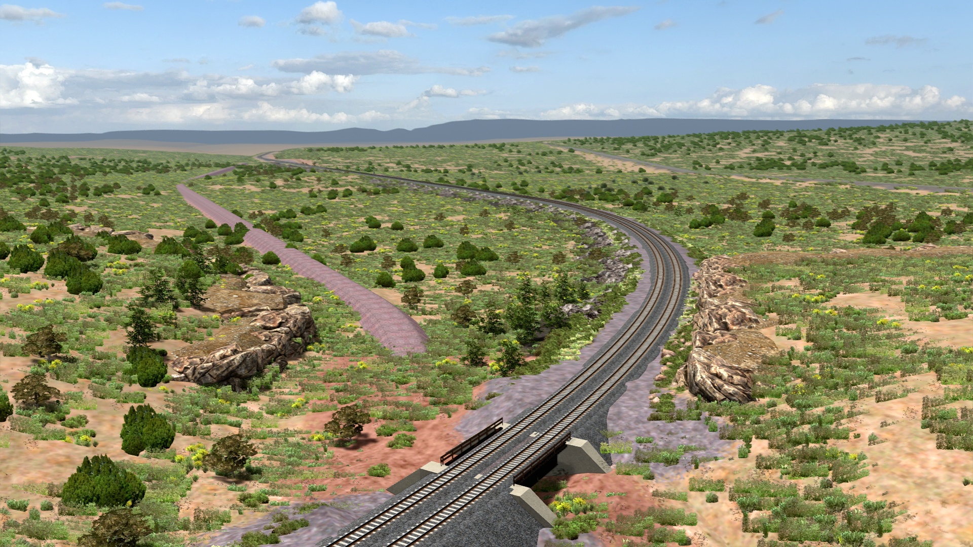
Corva Horseshoe Curve.
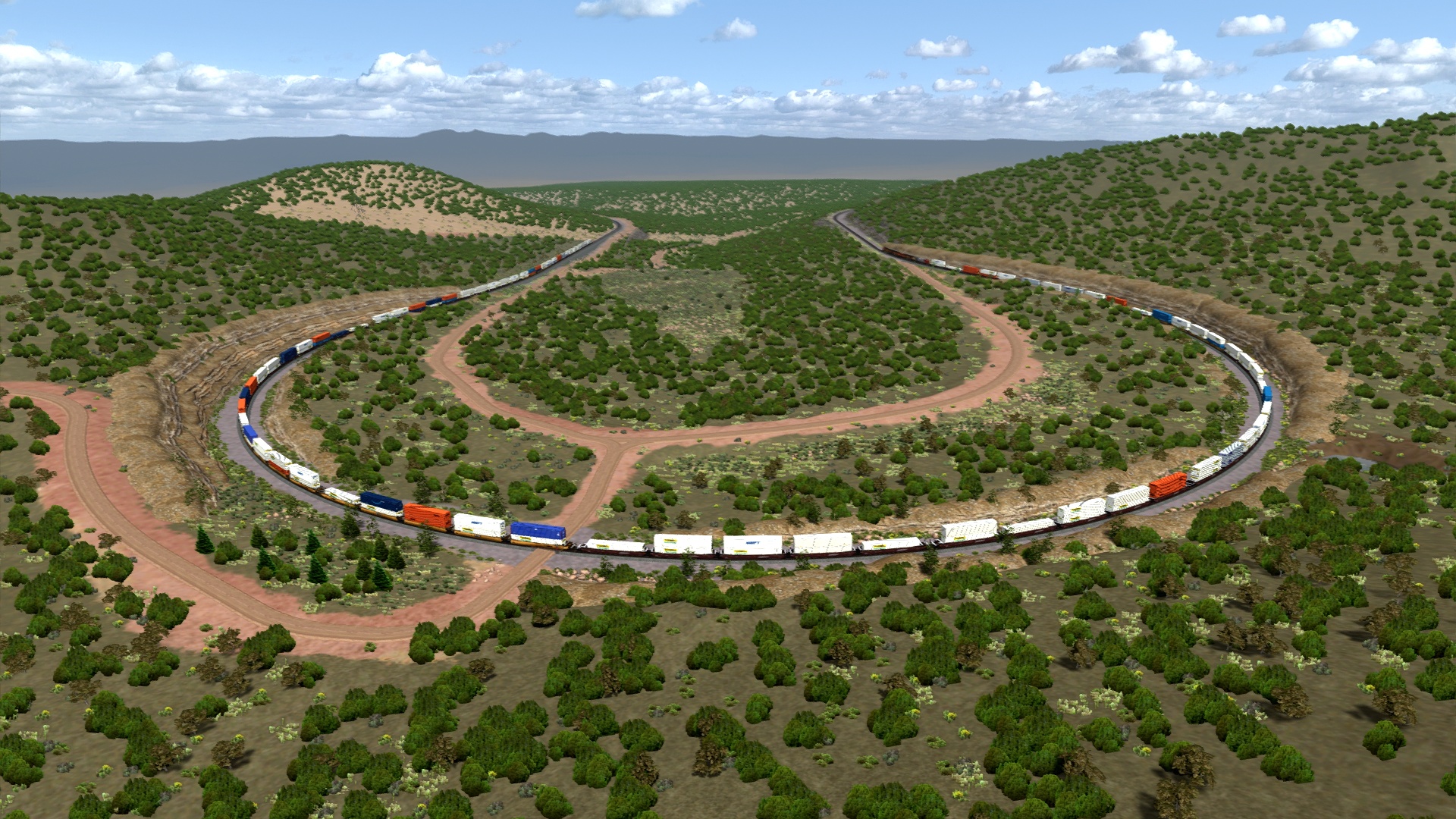
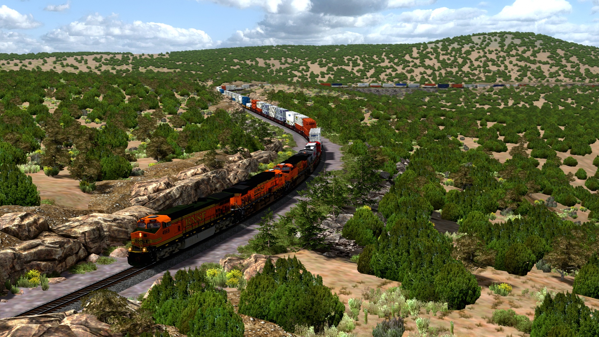
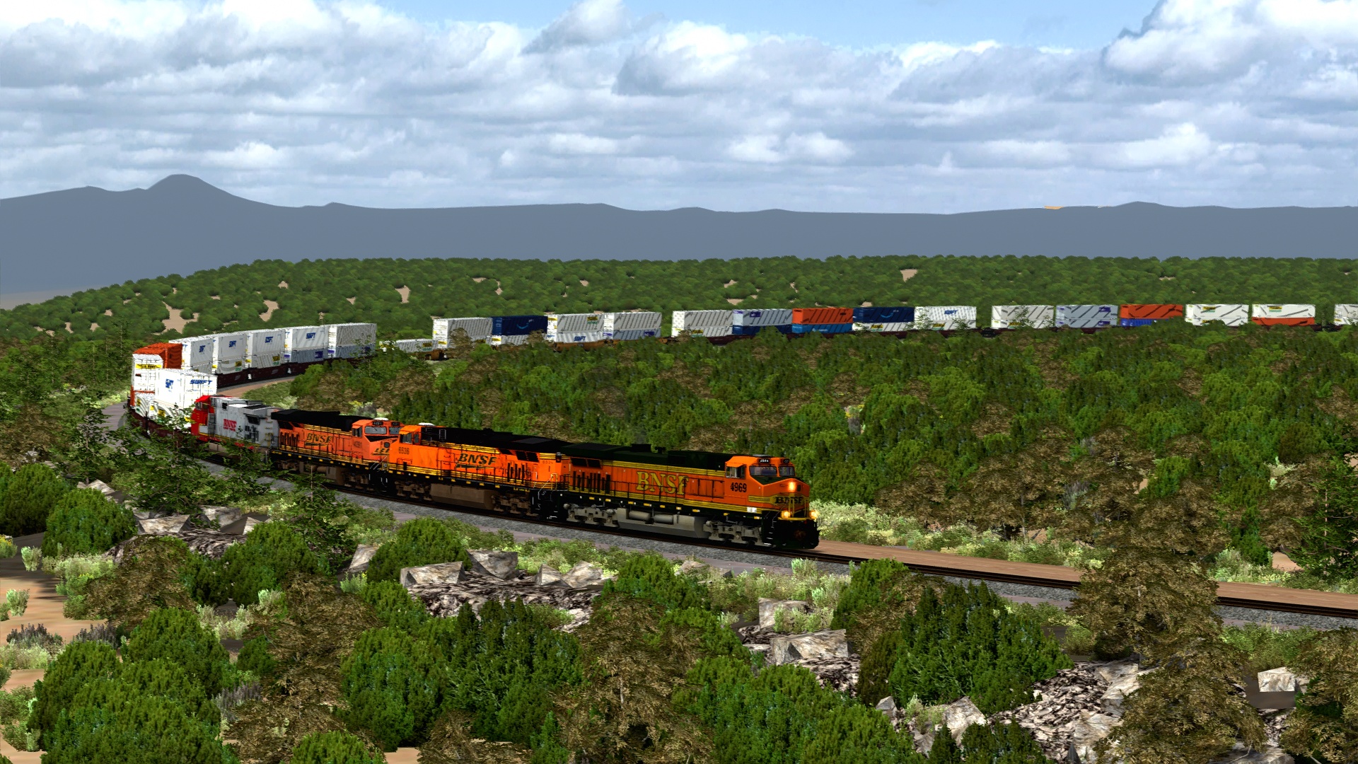
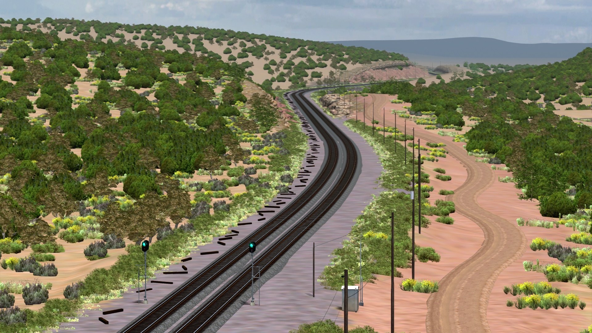
Daze is home to several impressive S curves.
At Daze Horseshoe Curve, we can see where the Santa Fe north track rejoined the A&P south track.
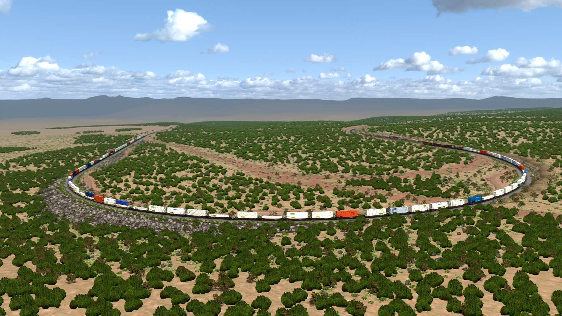
A secret third, unnamed Horsehoe Curve.
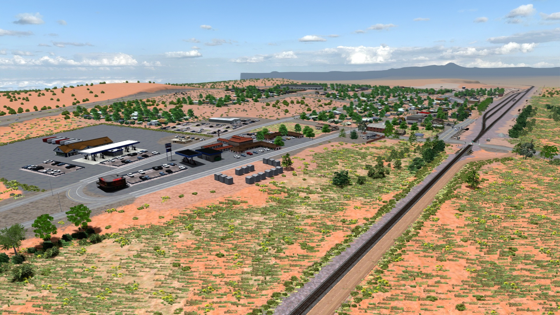
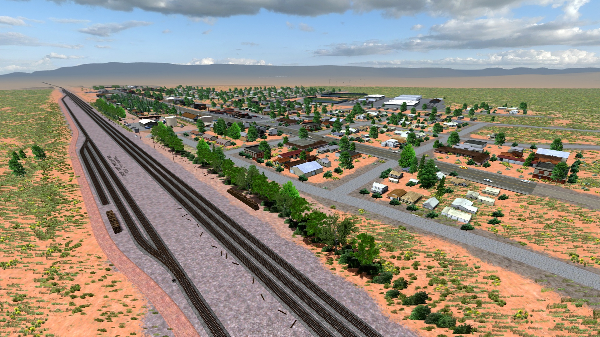
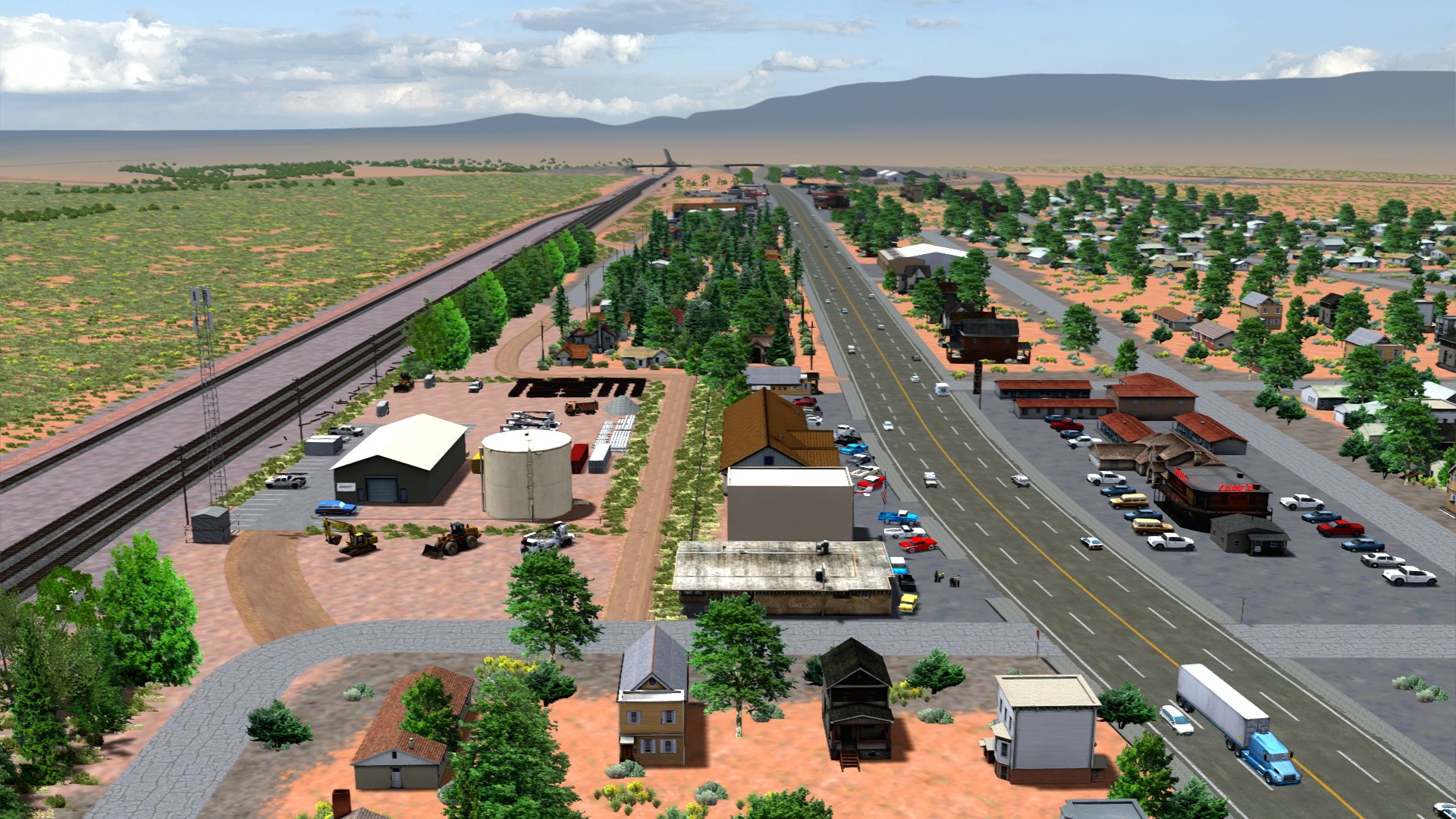
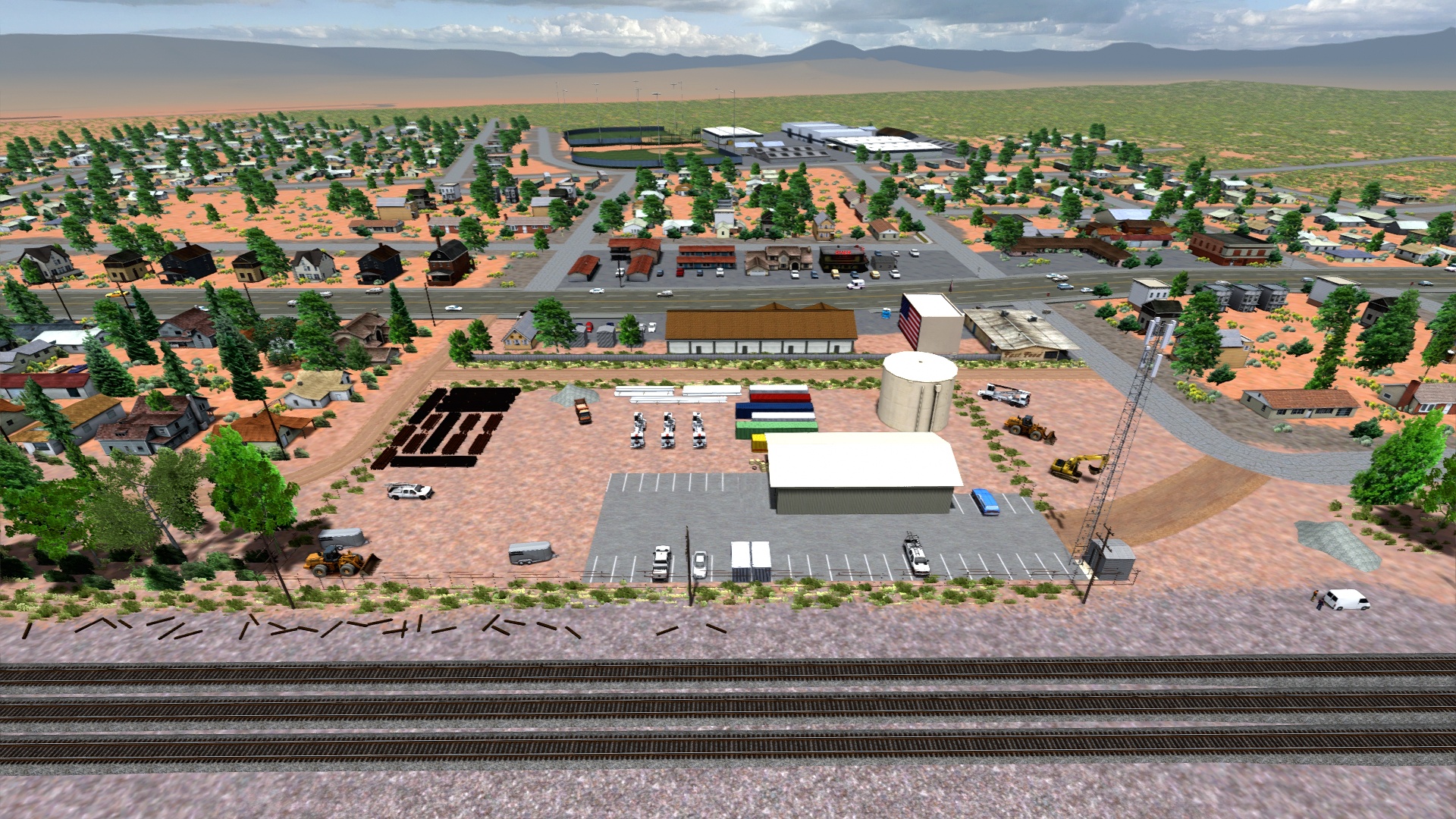
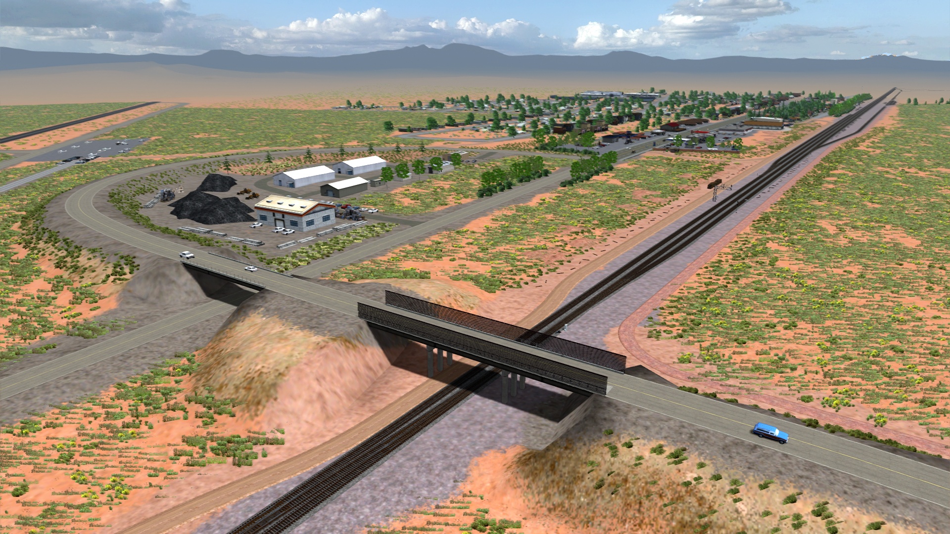
Overlooking the small town of Ash Fork where our Peavine extension comes to end.
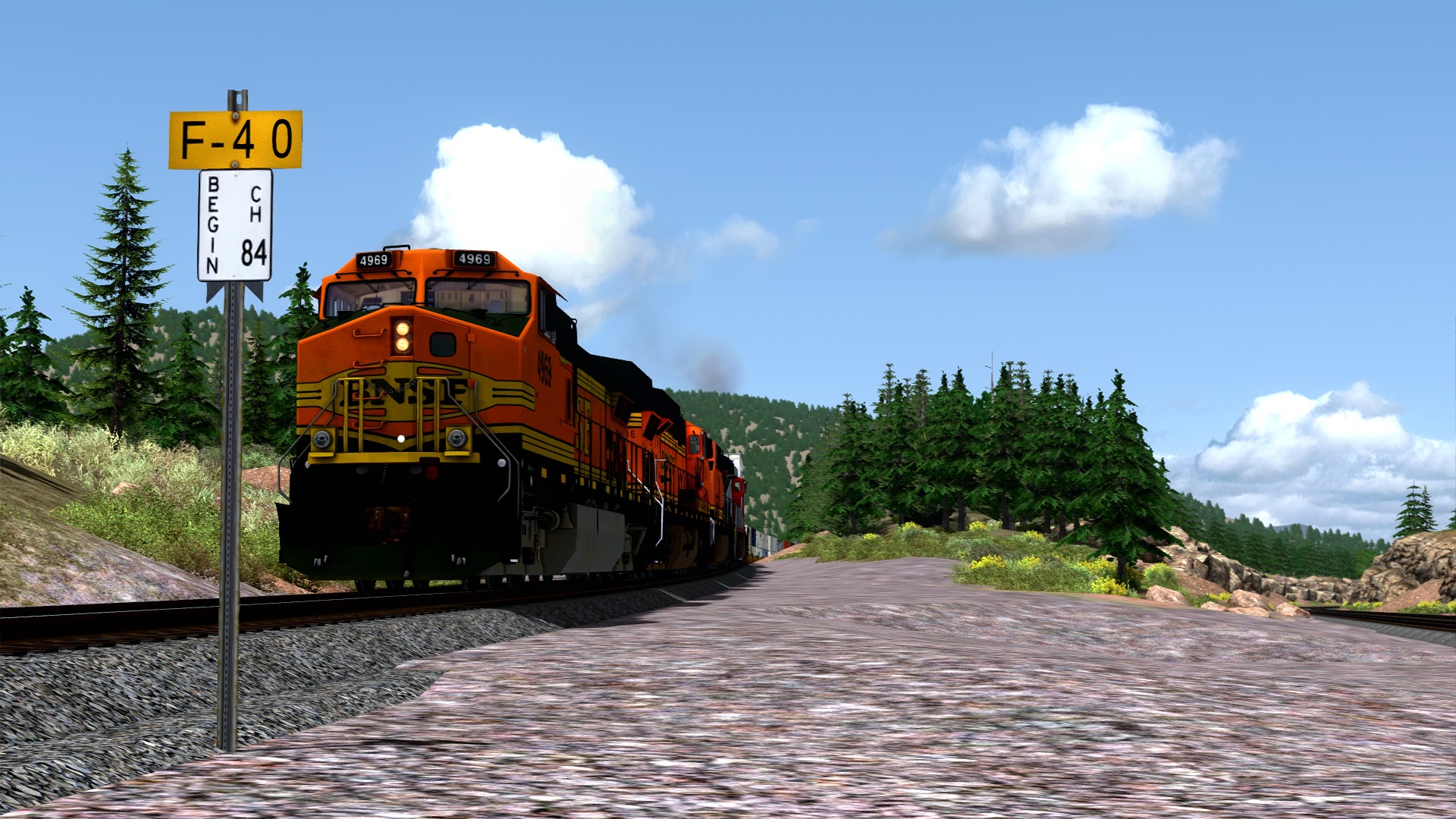
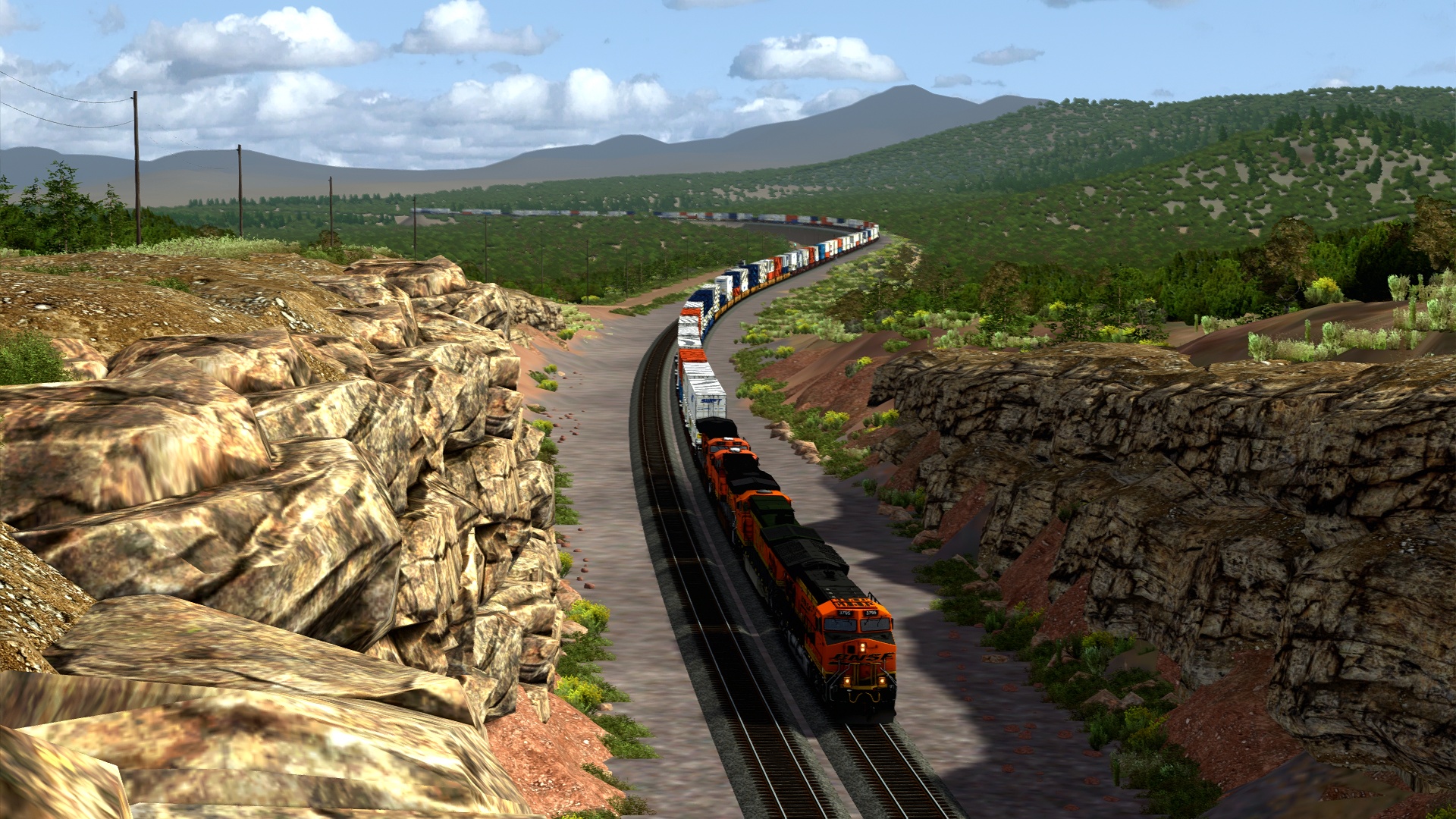
Back on the transcon at Williams we begin our tour of the Crookton Cutoff.
At the northern edge of Williams where the mainline ends on the vanilla map.
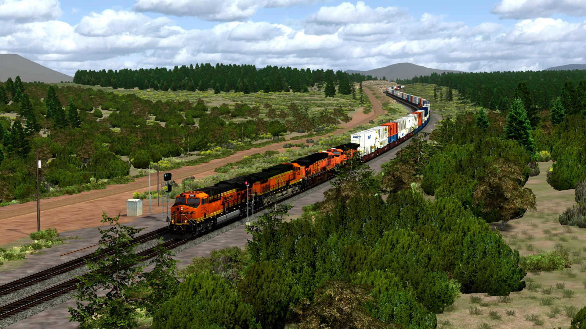
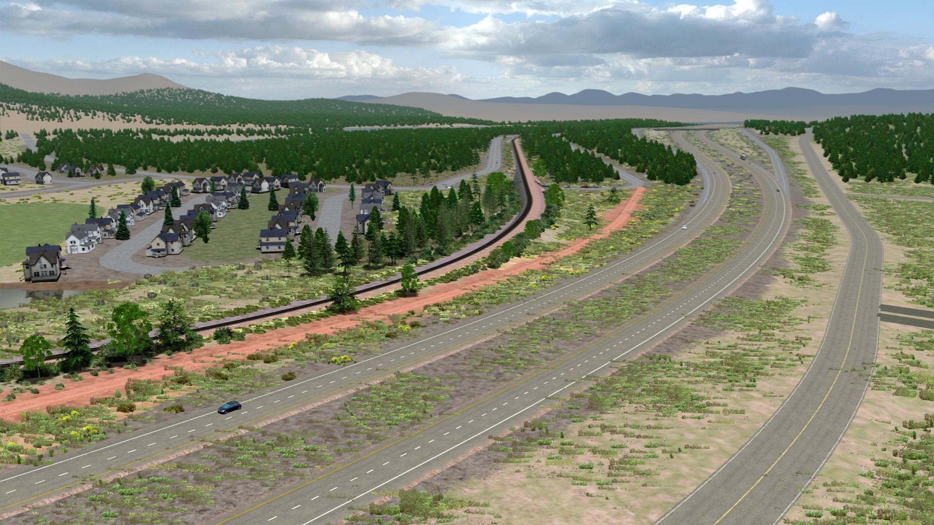
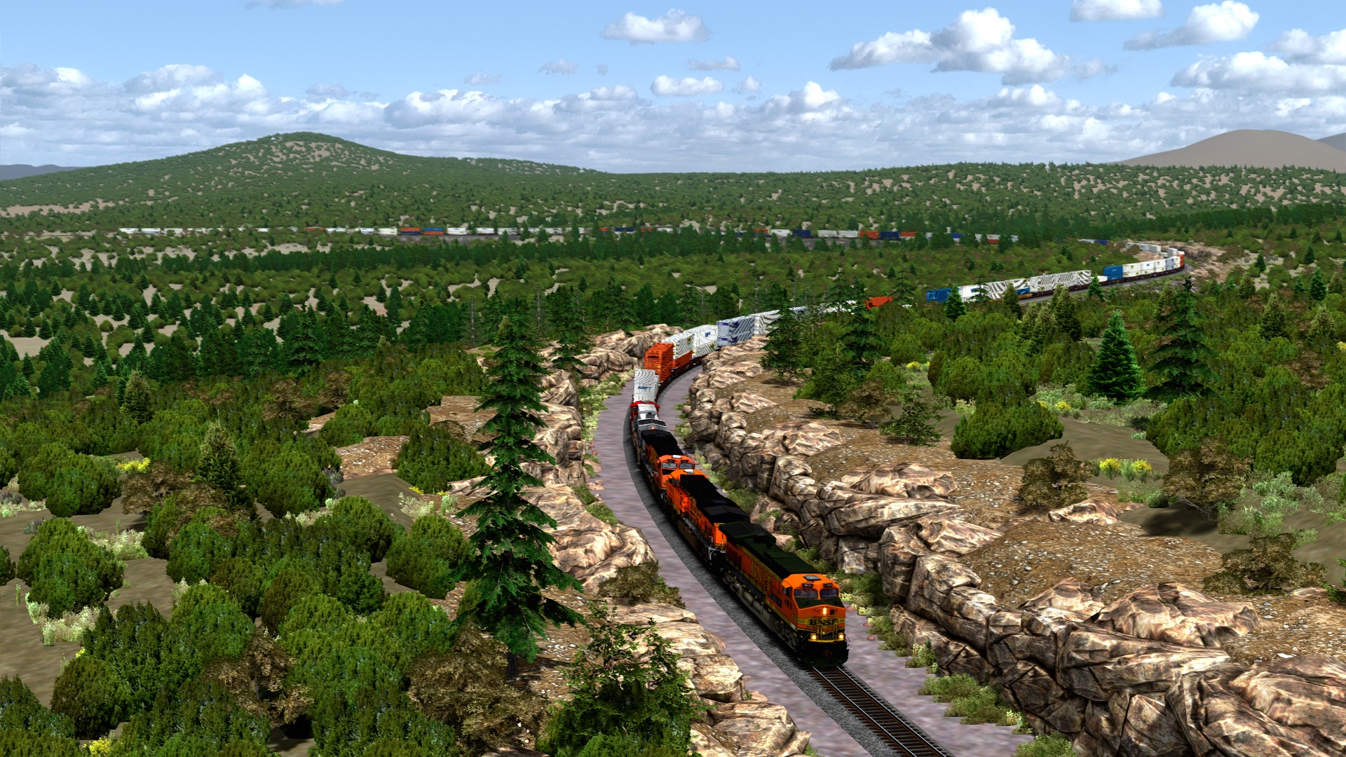
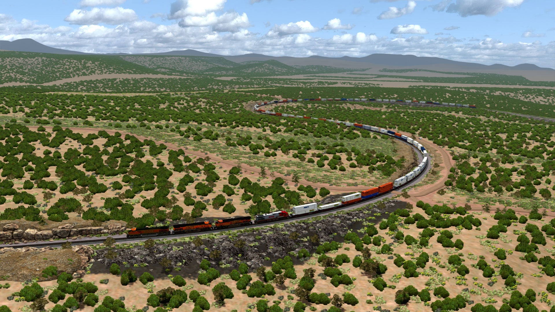
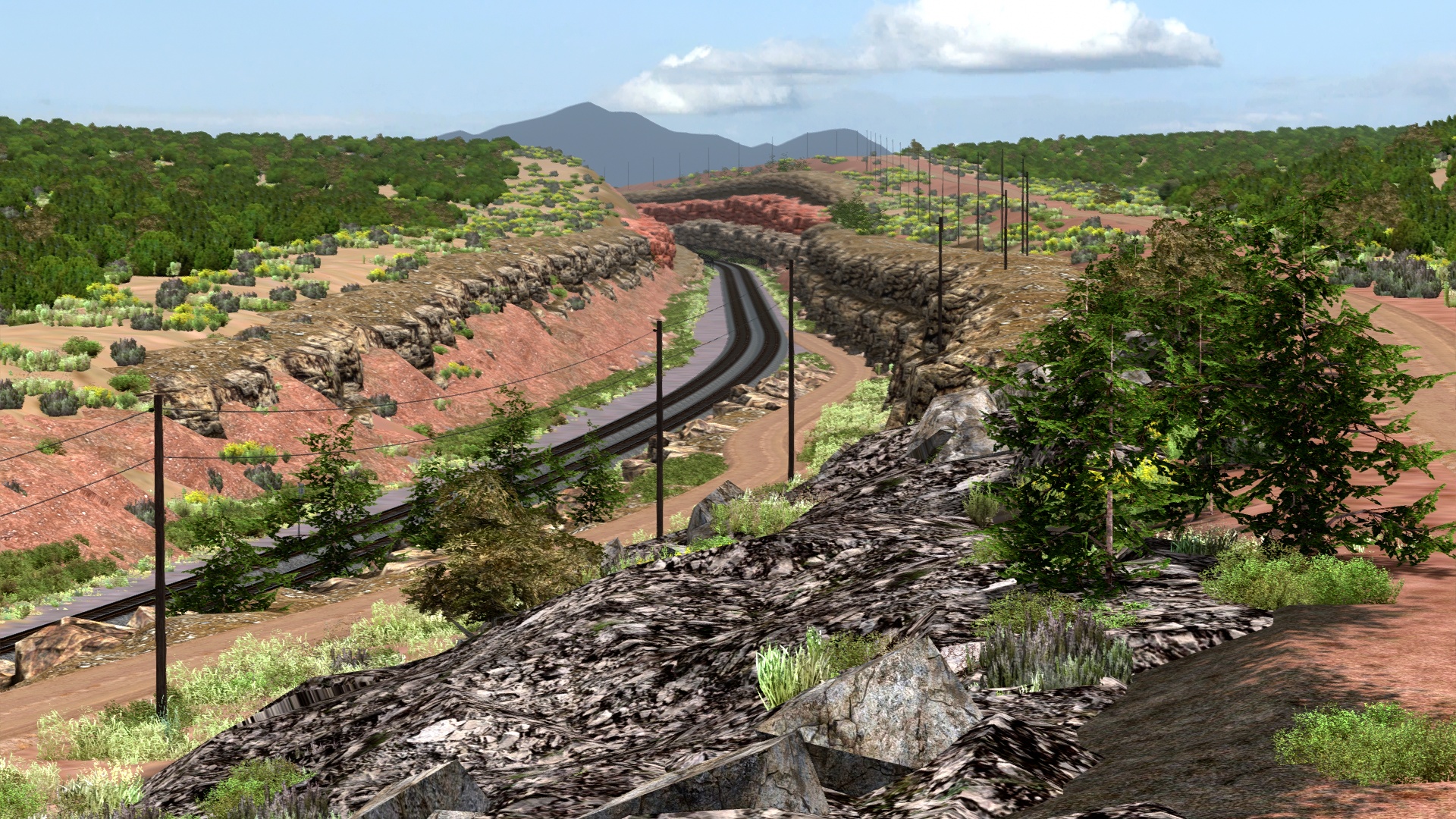
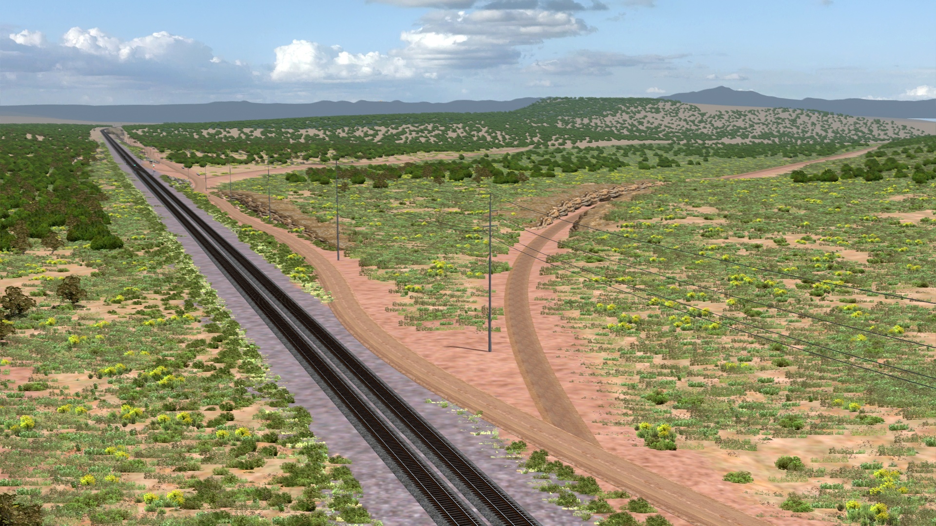
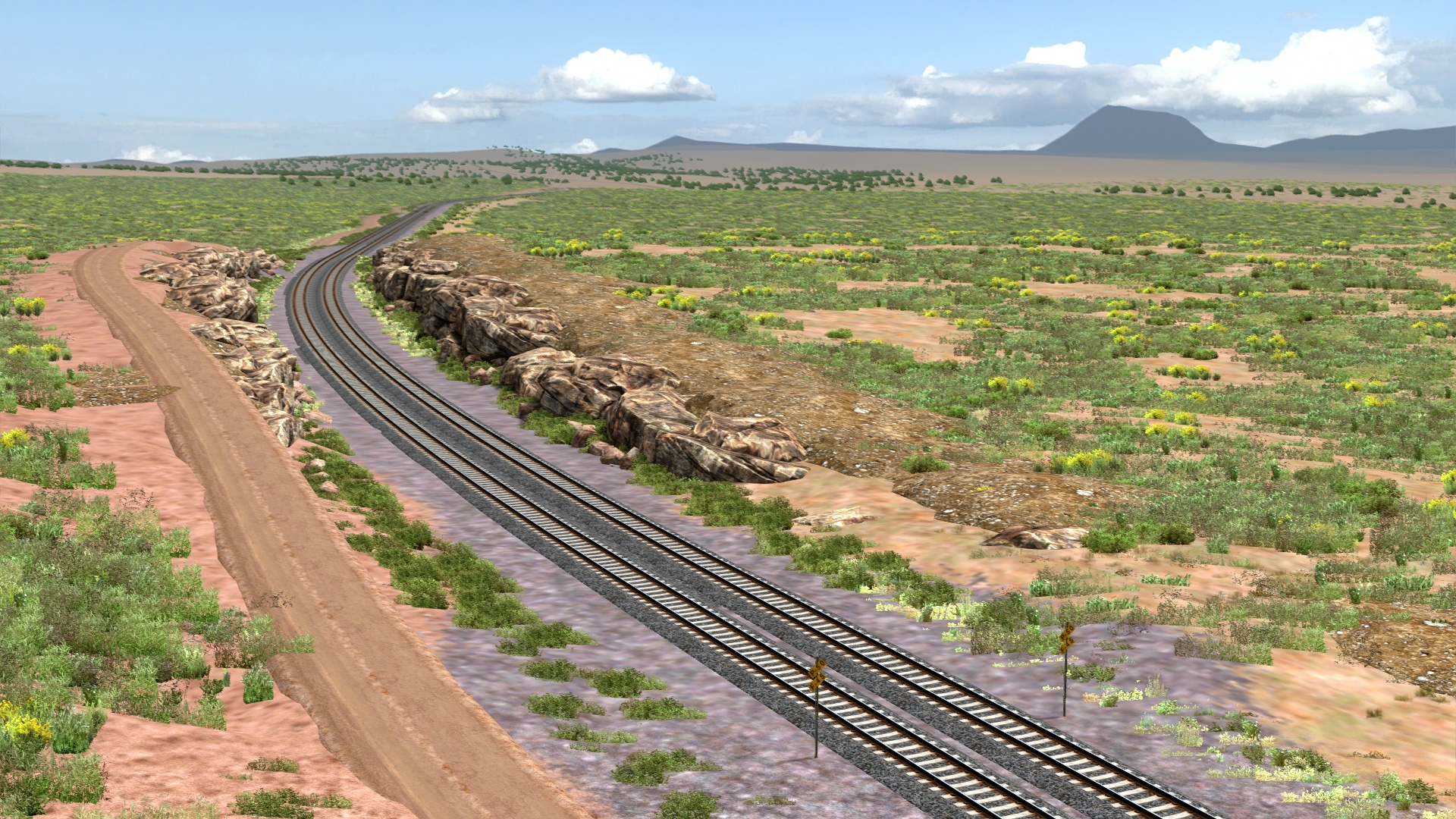
Mile-long curves at East Perrin.
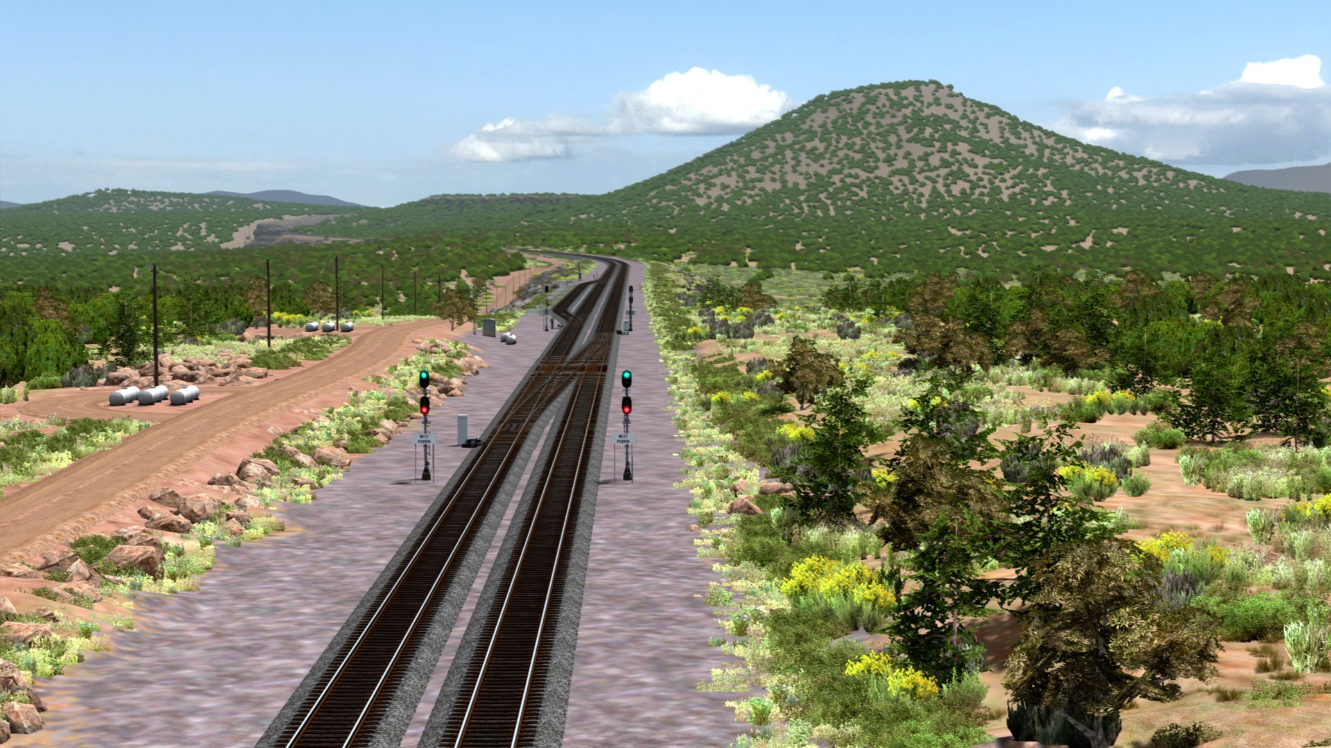
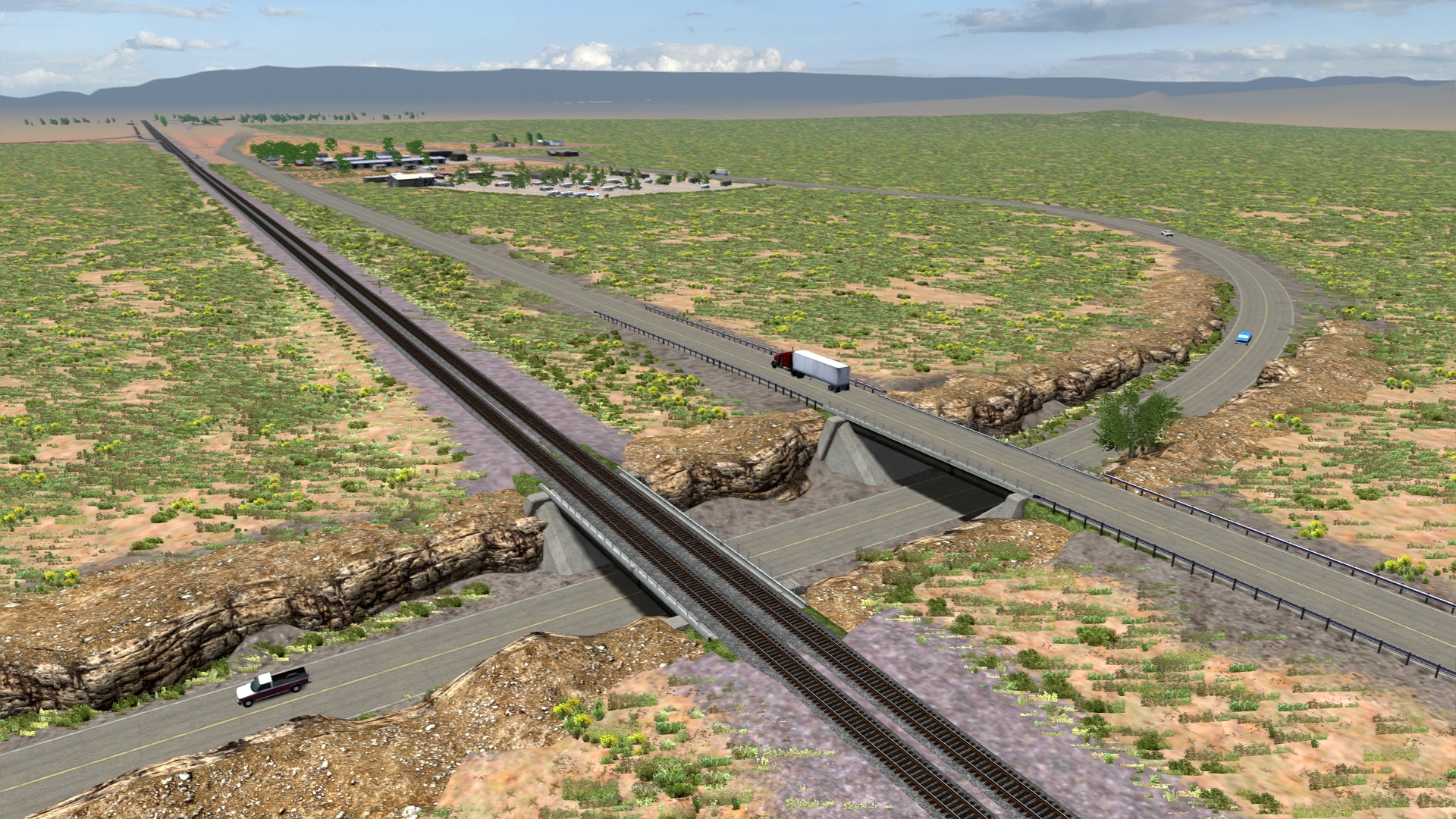
West Perrin.
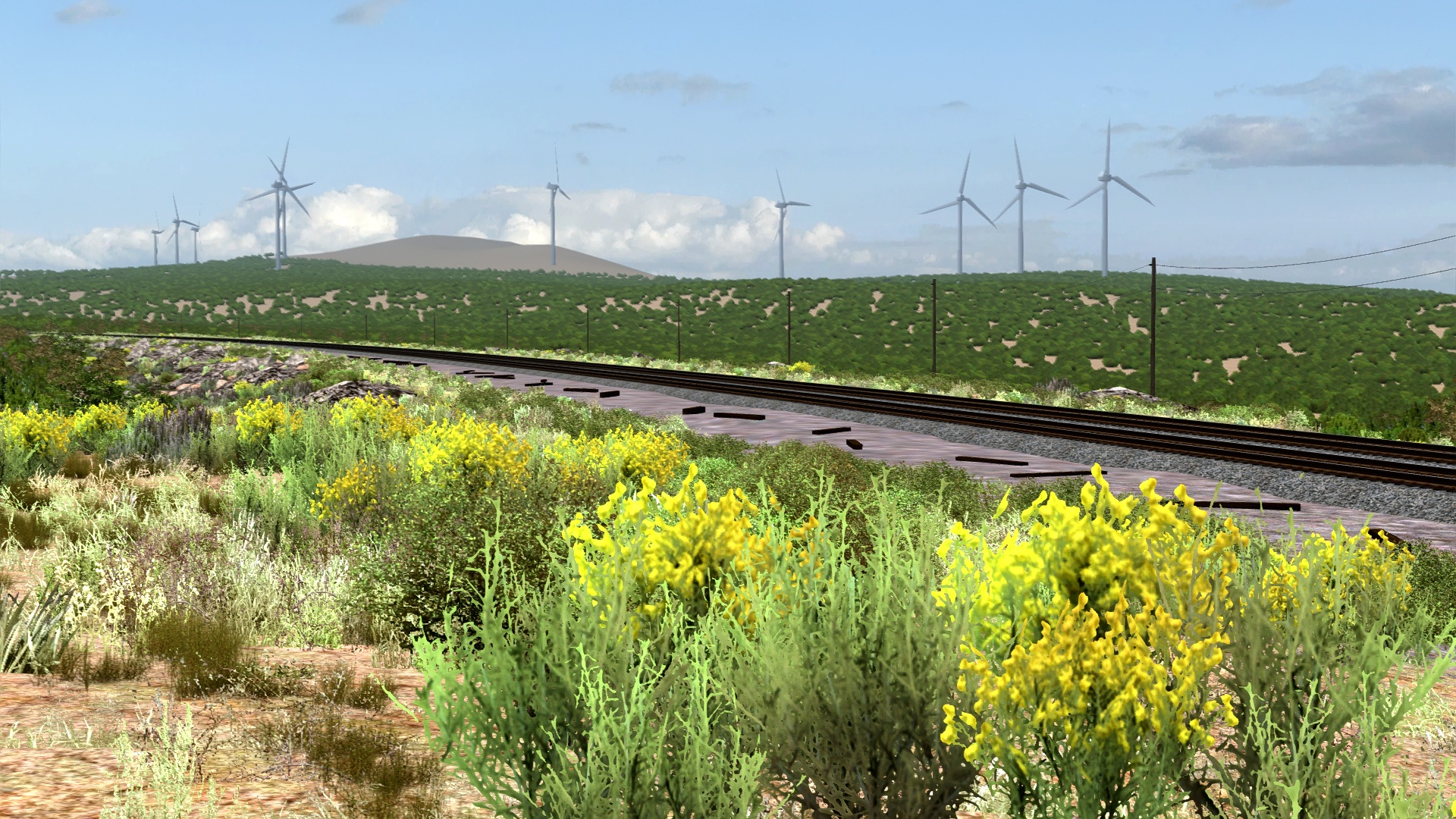
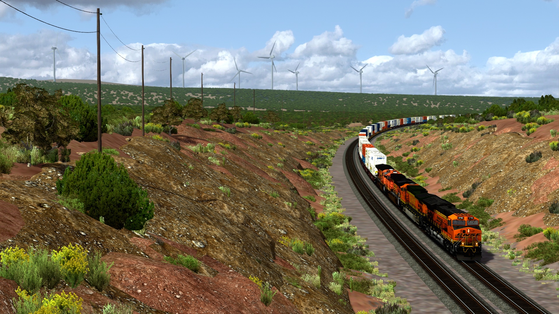
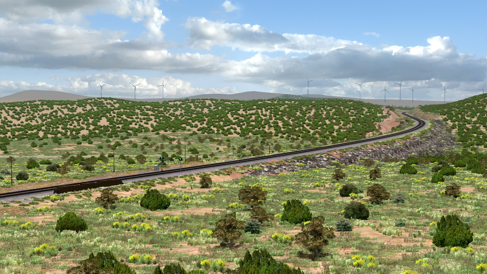
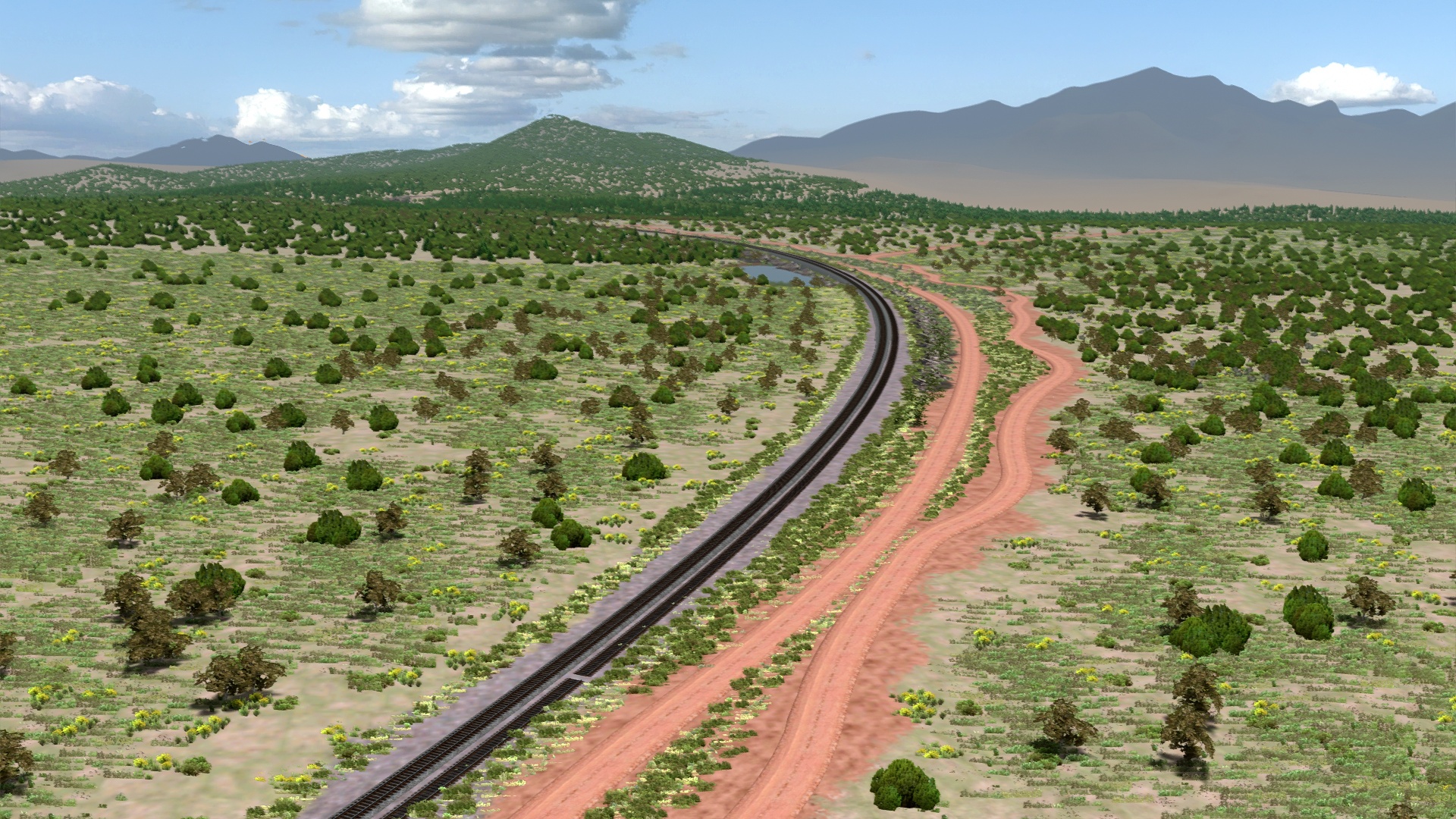
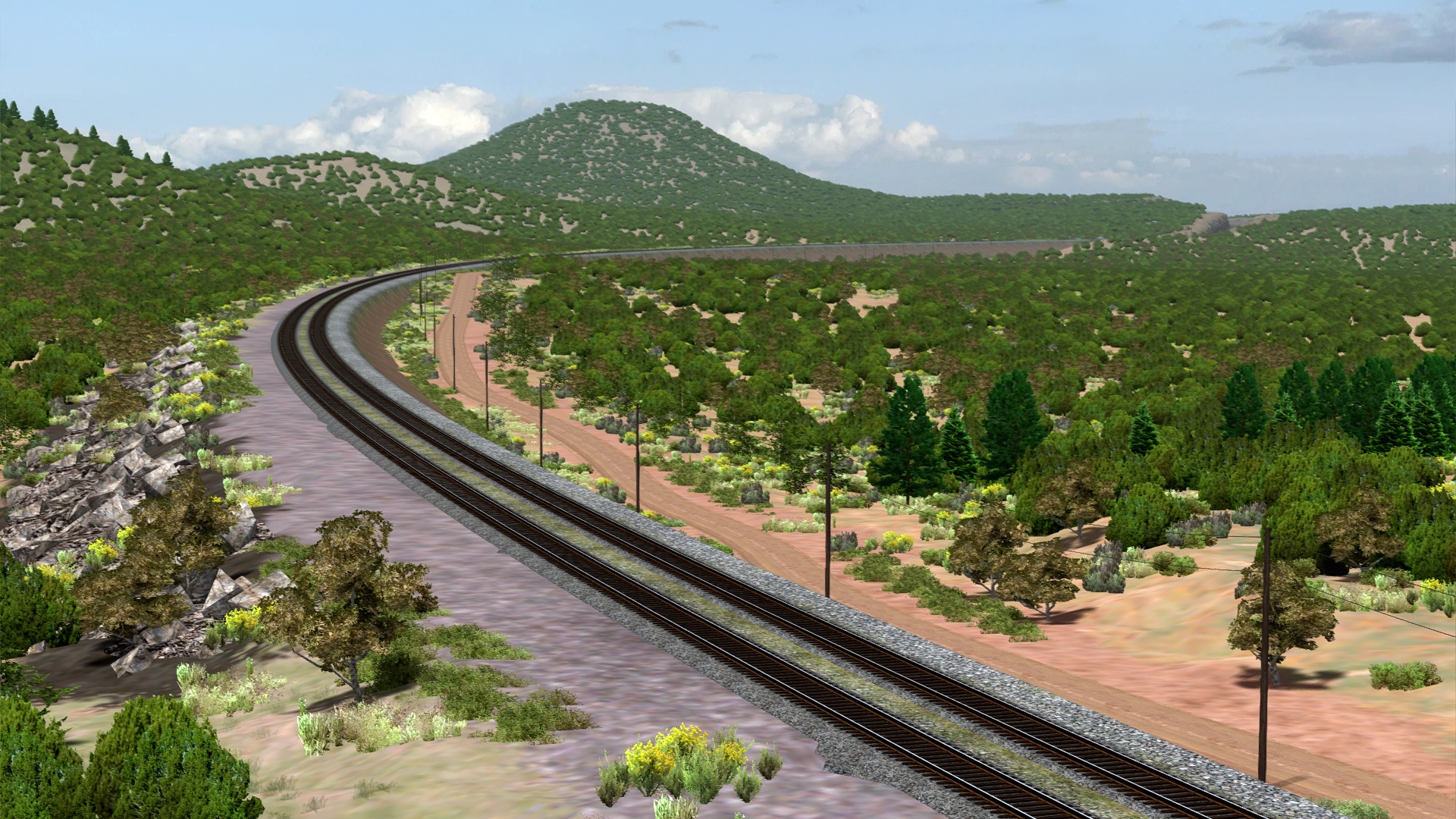
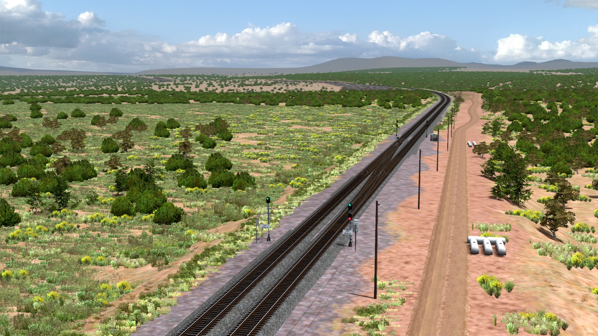
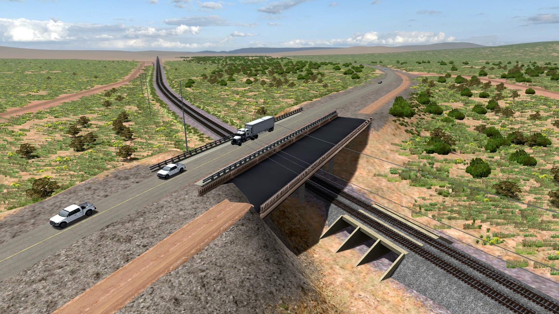
East Doublea.
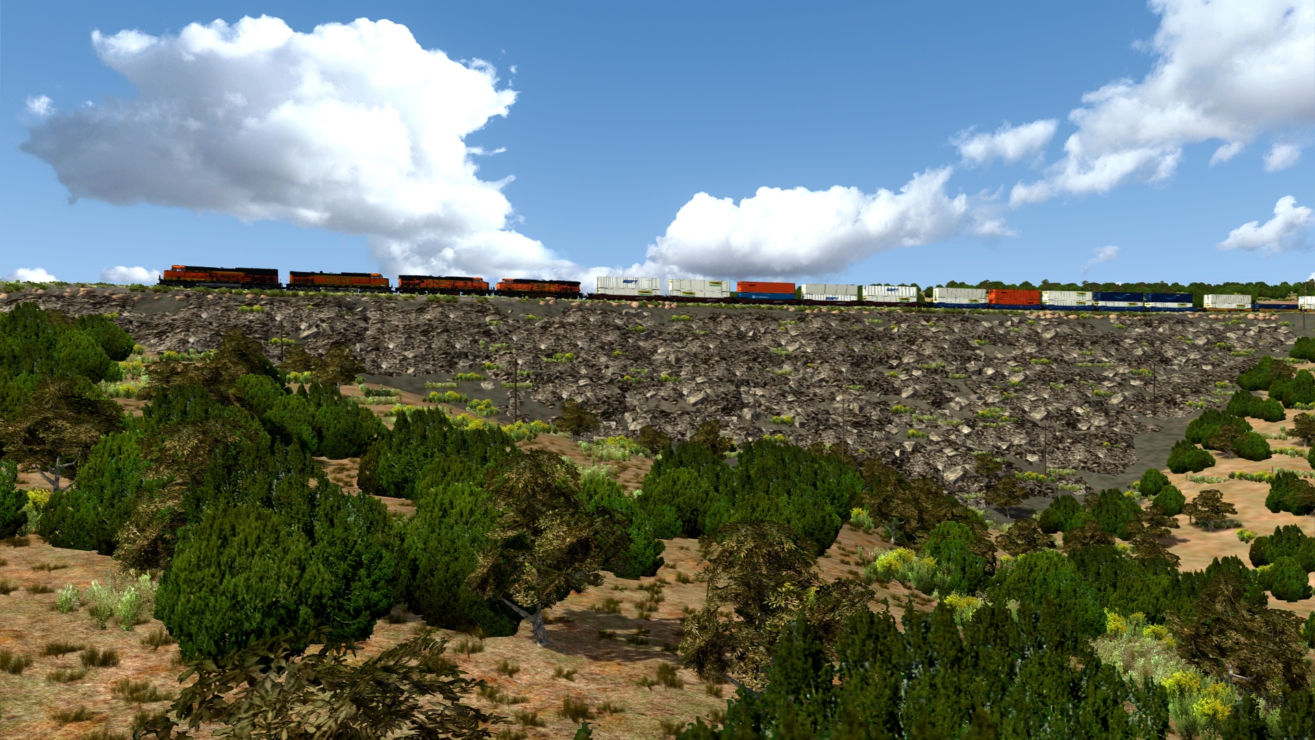
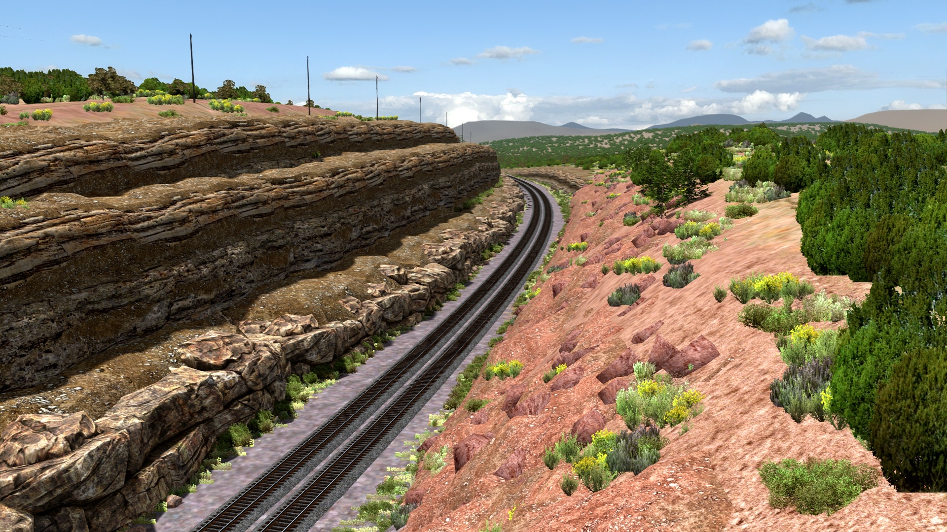
Into the big cut at West Doublea.
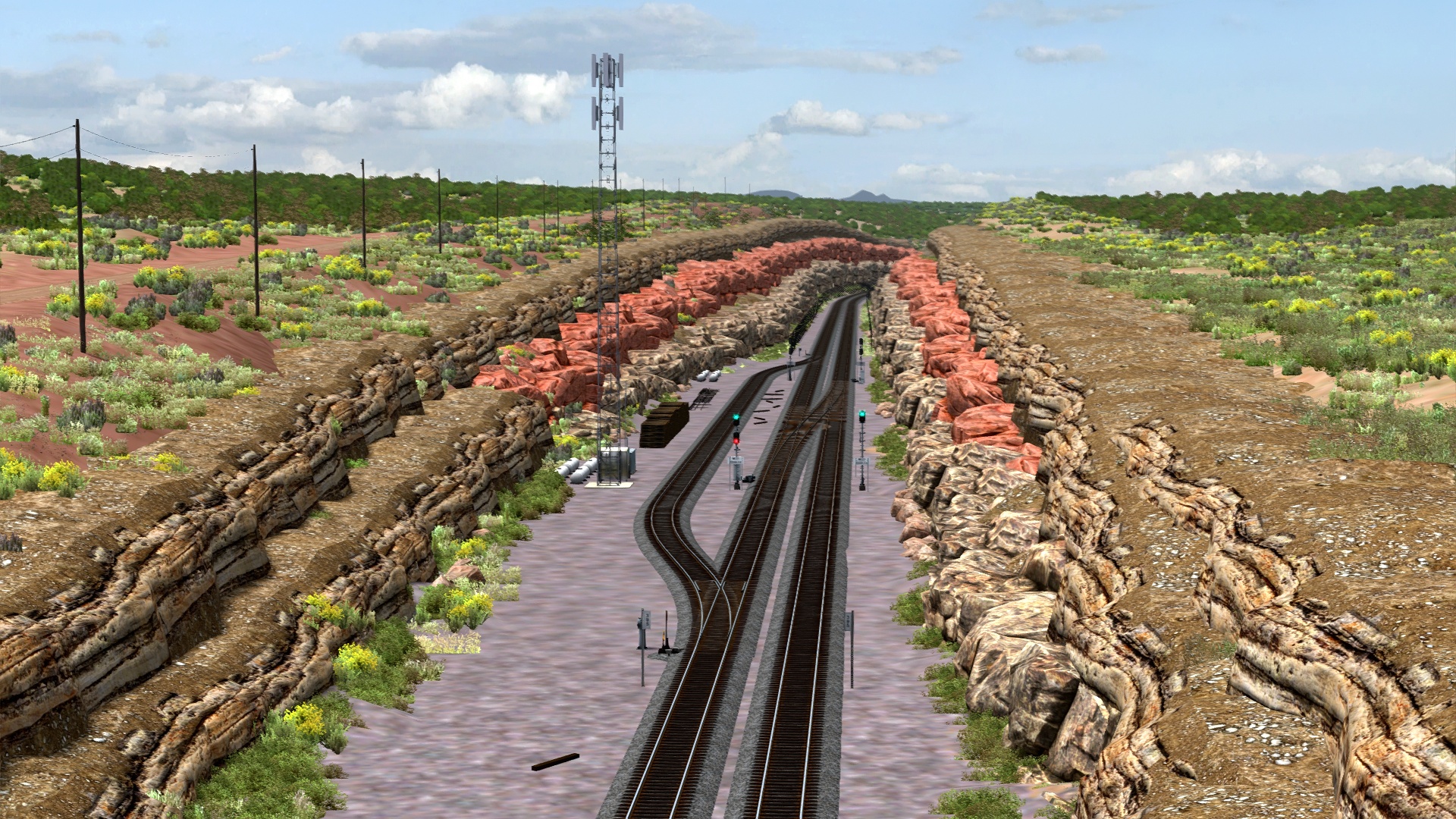
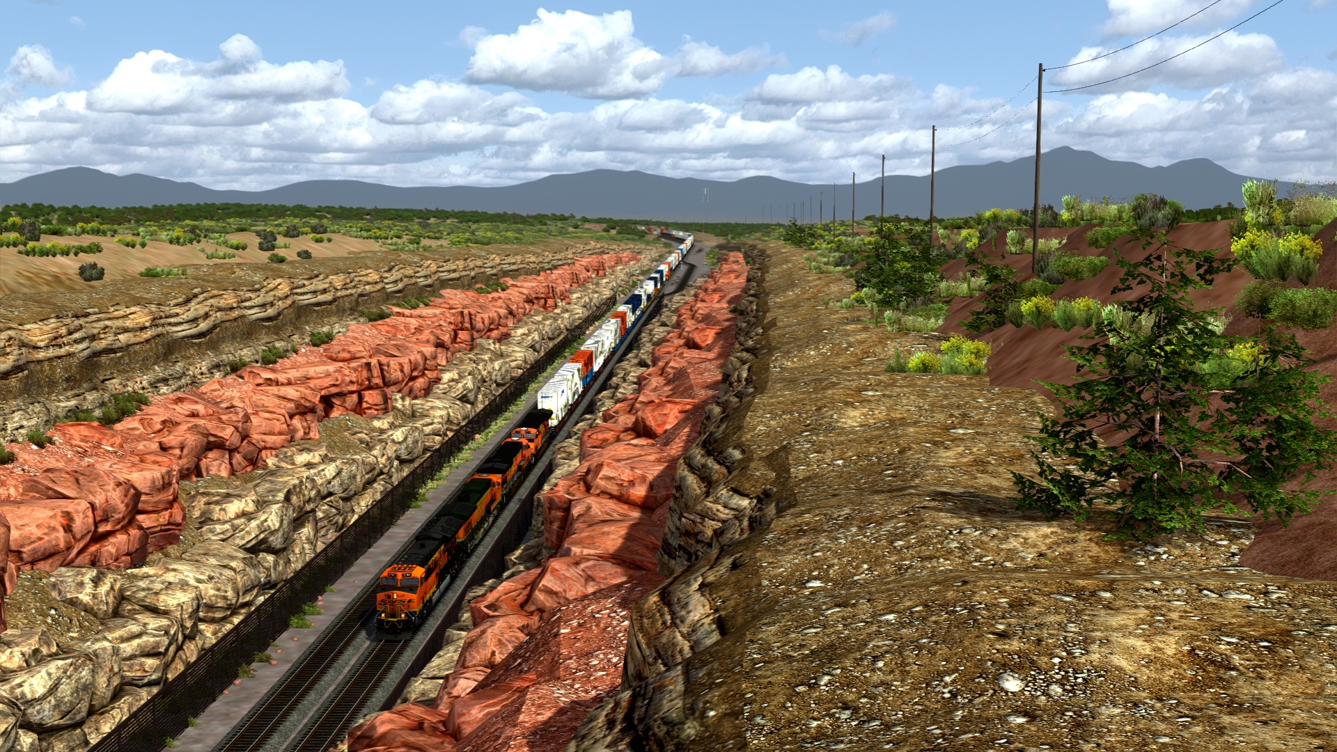
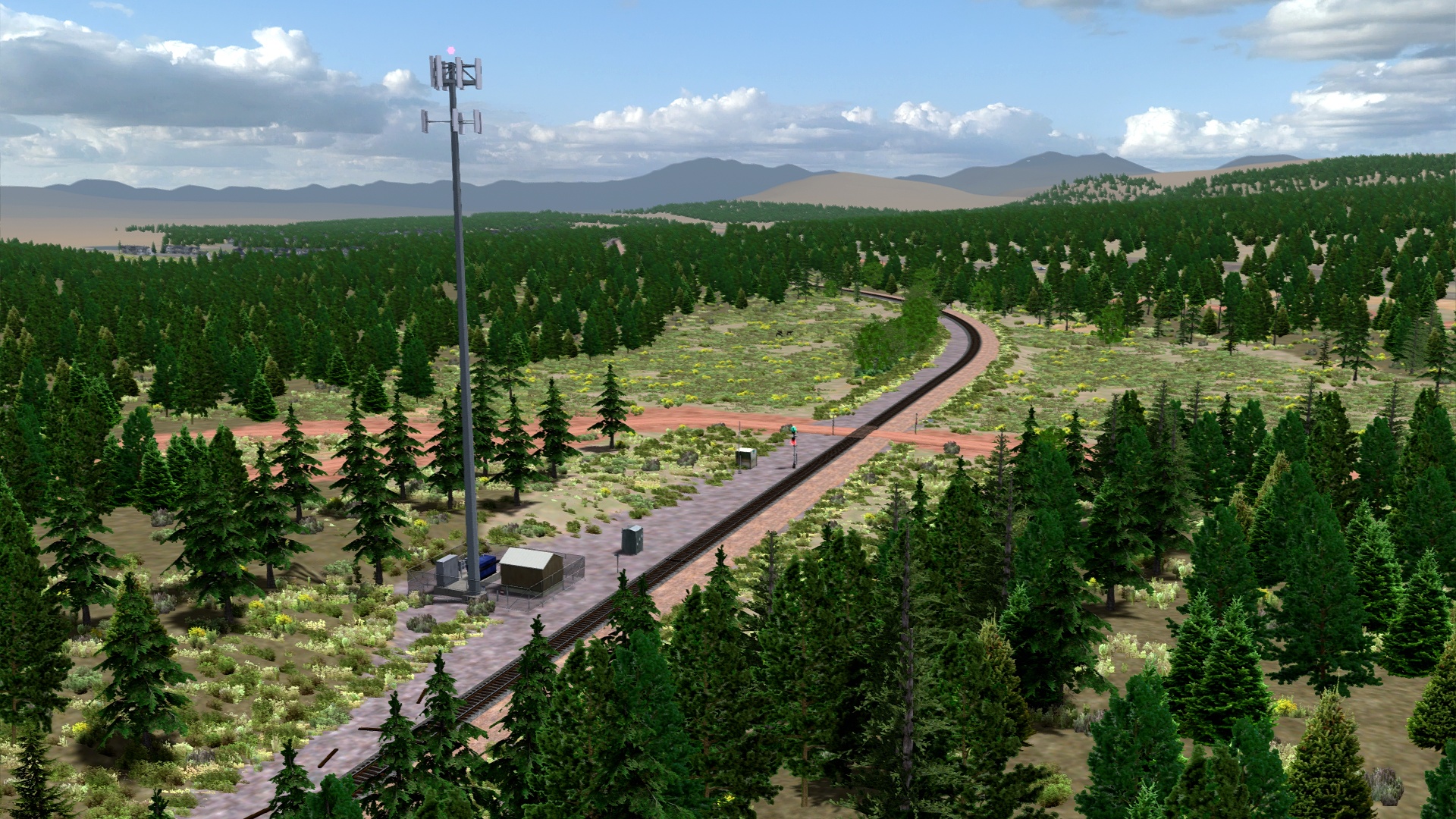
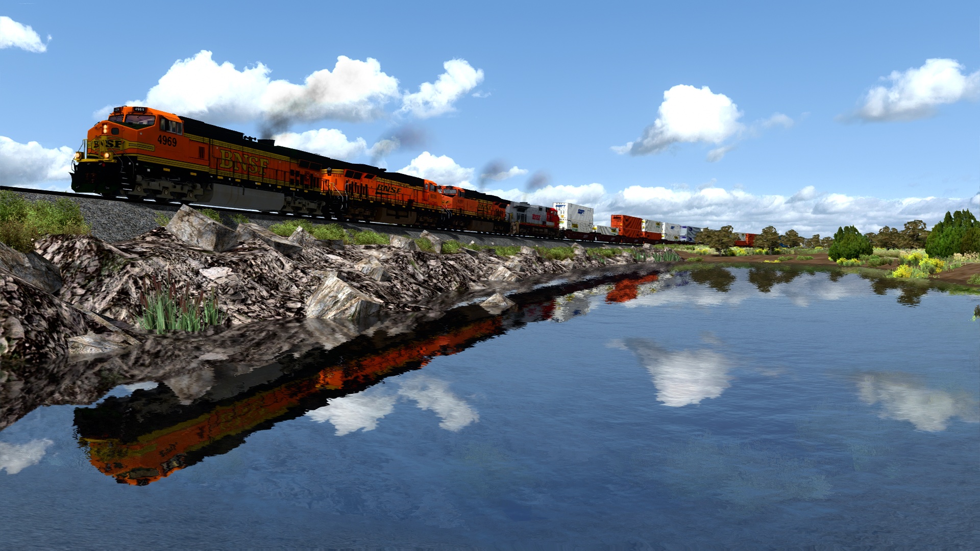
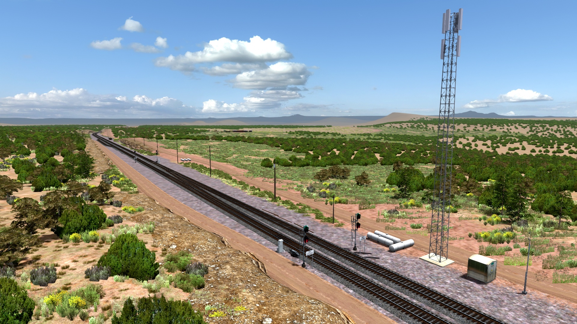
Eagle Nest.
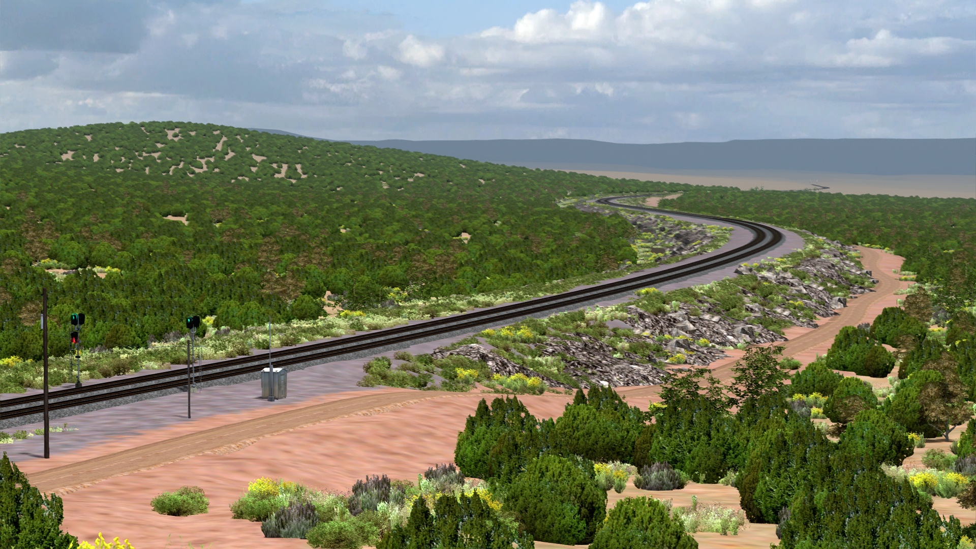
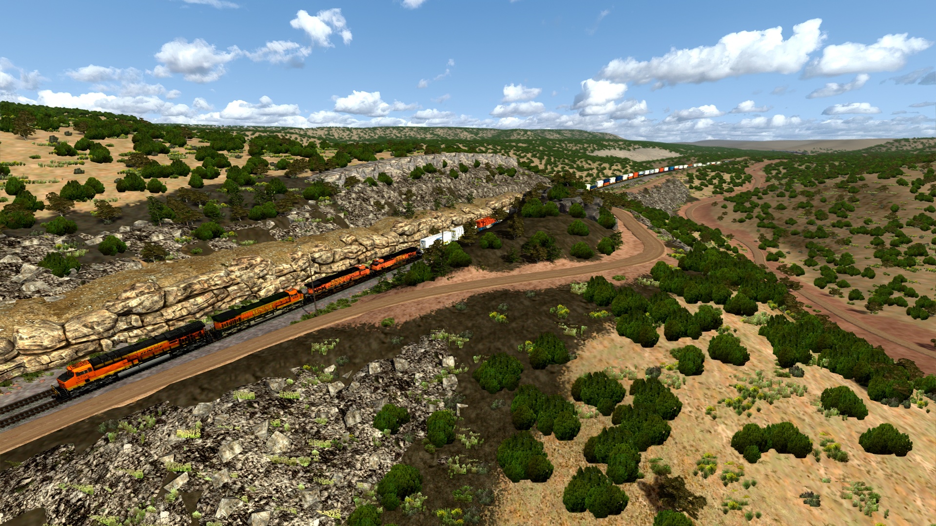
The 1960 line change ends here at East Crookton. Santa Fe's 1911 track alignment is seen in the foreground with the A&P line branching off next to the signals. Both railroads once crossed at a flyover near Gleed just a few miles southeast of this location.
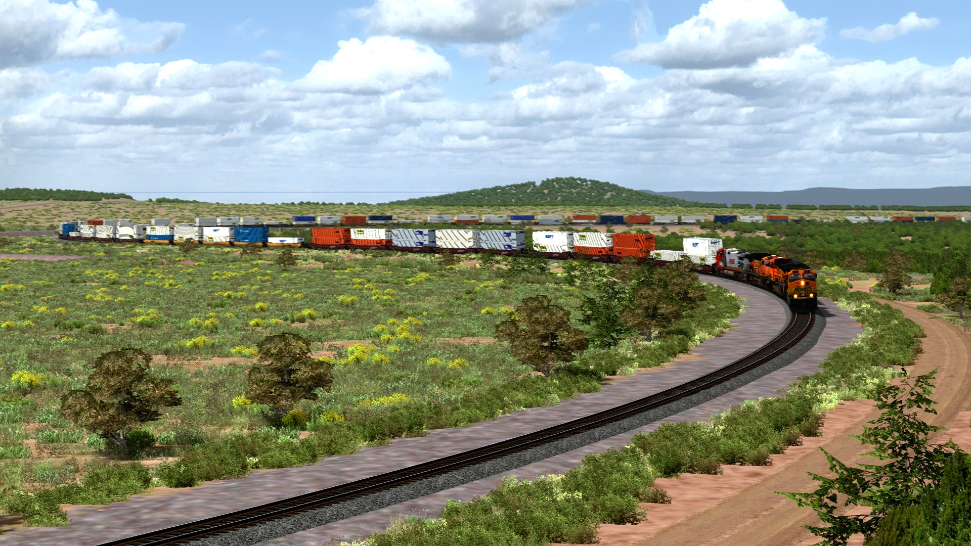
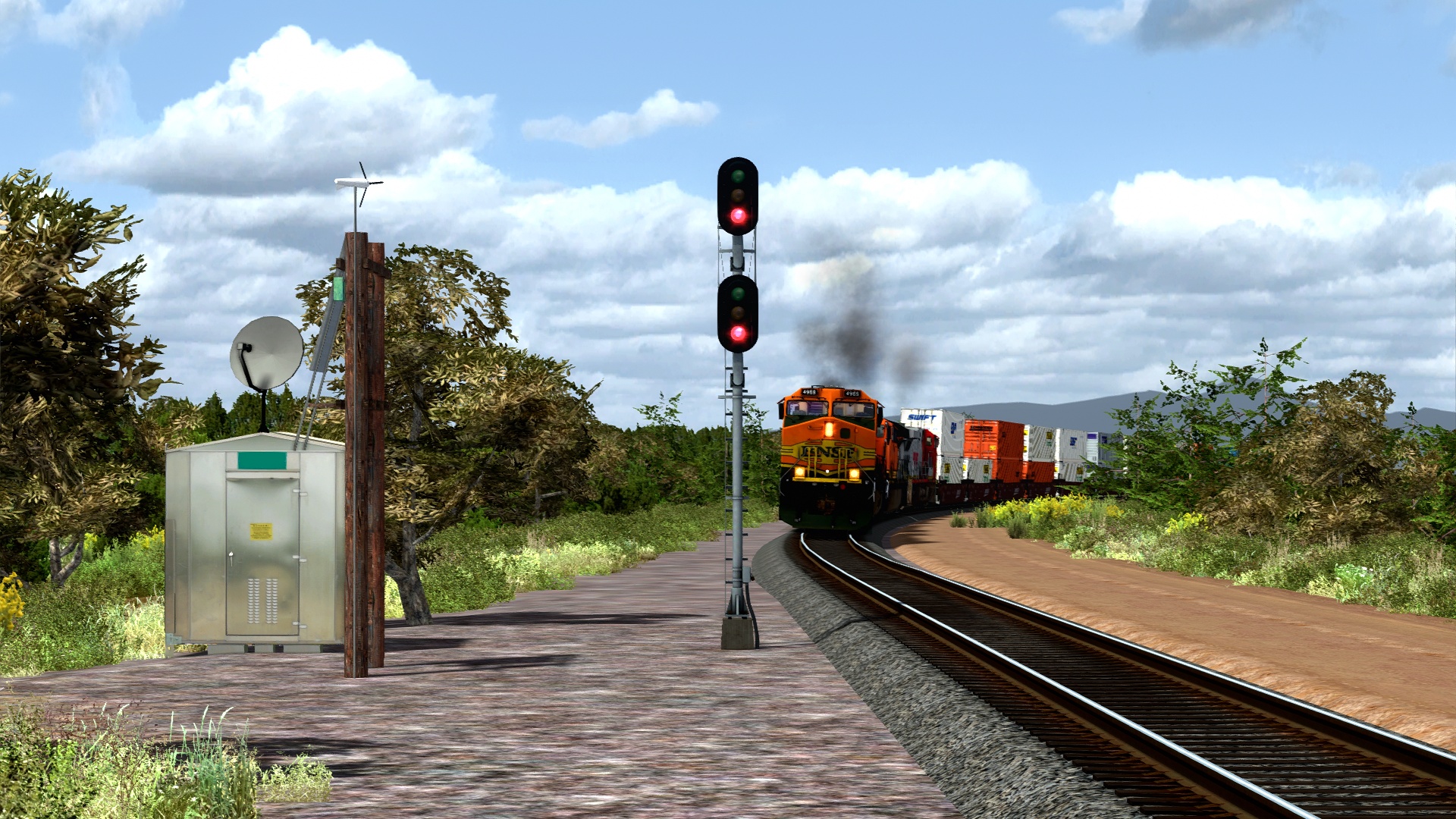
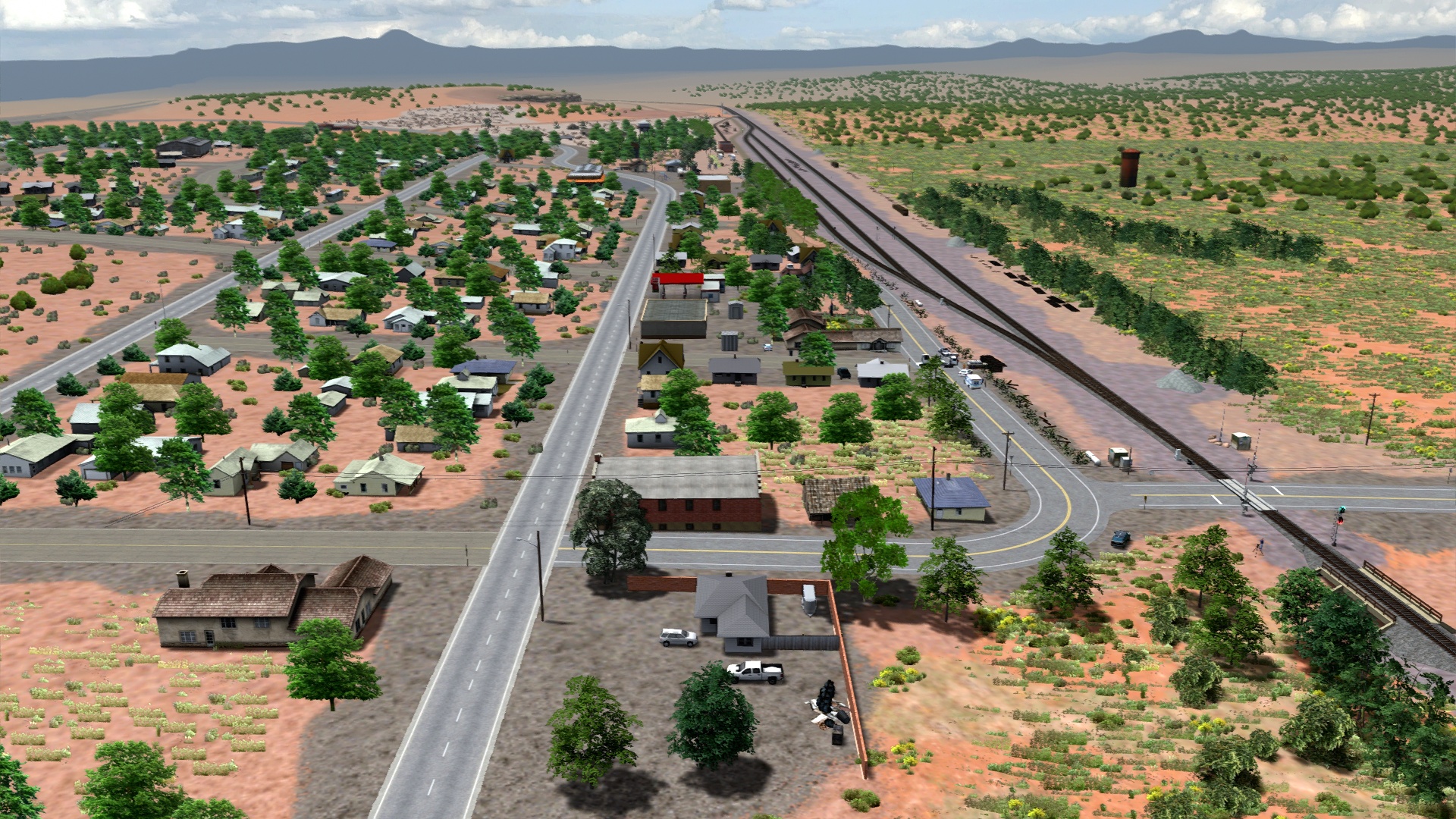
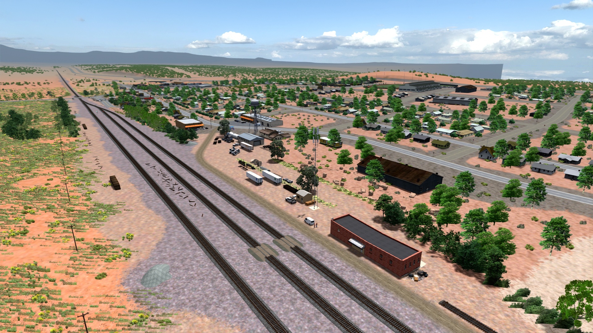
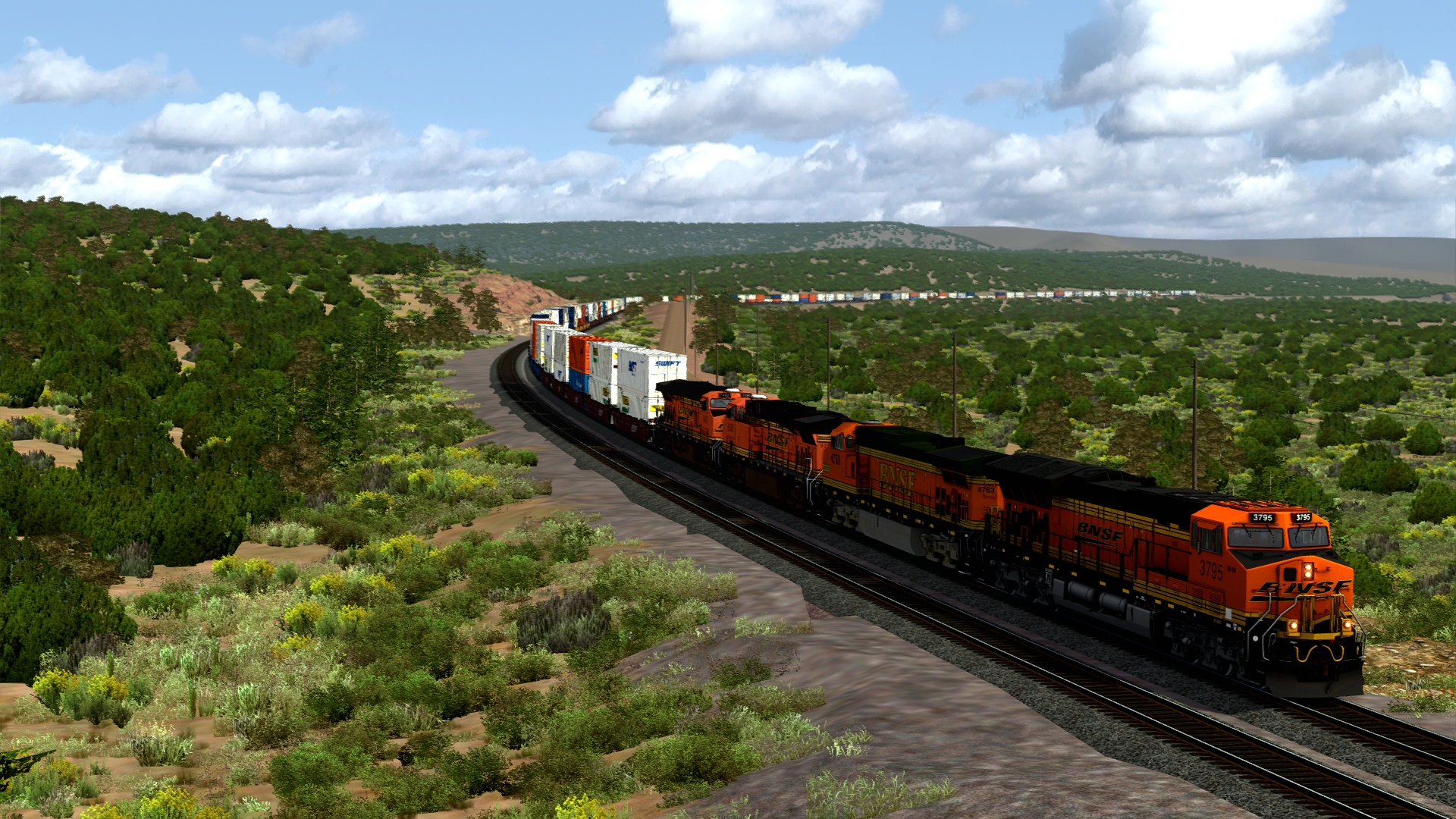
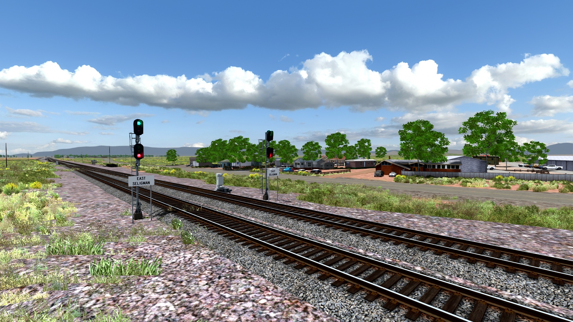
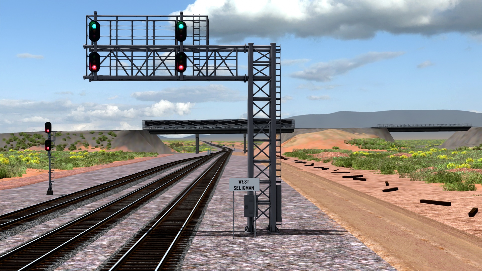
Seligman area.
End of the line beyond the bridge.
With the completion of these two extensions, I'd estimate the route is about 95% done at the time of writing. I cannot make promises but it will likely be available for download sooner rather than later. Thank you all for your continued patience and support for this project over the years!! Seeing your excitement has been a big motivator to continue working on it and I'm determined to get it done right.