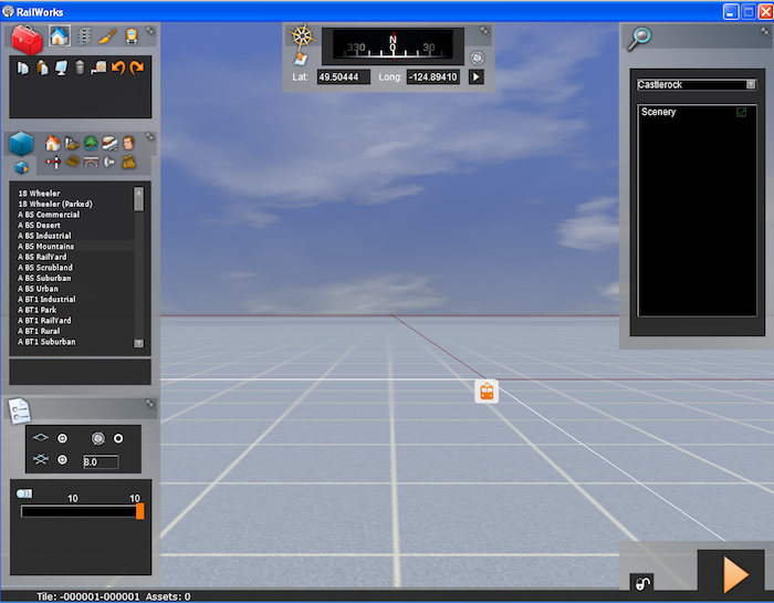
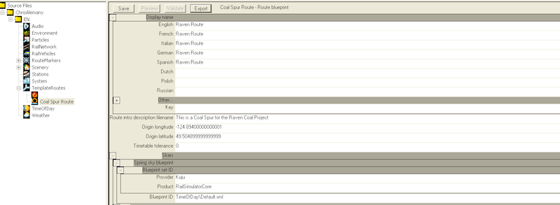
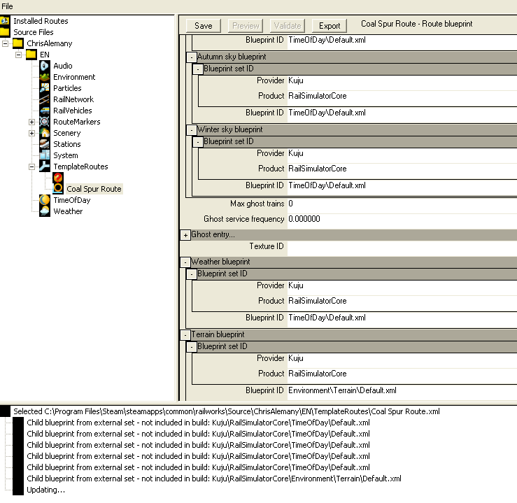
I've worked through a few outdated instructions for building up a route from scratch (including using a Default.xml where texturing.xml was used in older instructions). As you will see below, I have terrain, I have objects loaded.
I and my route are on Vancouver Island. Which is 49/48N and -123/-124W... I've placed the appropriate hgt files in the SRTM folder but that "t" just hasn't done it for me.
Some questions. Do the names of the hgt files matter? Case sensitive perhaps? (mine are N48W123.hgt ... etc)
Could it be that the HGT files don't have the information for my actual area!? Am I loading empty files? (is there somewhere I can check that?).
I'm creating a brand new route every time to ensure I reproduce the steps I need. But to no avail.
Here are three screenshots to show where I'm at.
I've had another issue around using a csv file to create a route series marker and name marker and the blueprint editor freezes for hours and never finishes. (the series has about 66 points in it from google in ###.#####,###.##### format)... but that's probably for another thread, I haven't thoroughly investigated that one.
Thank you for any advice you could impart.